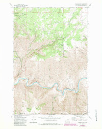
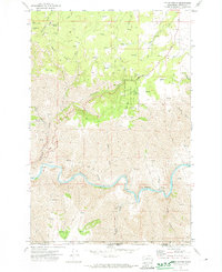
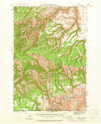
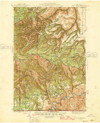
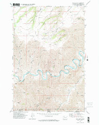
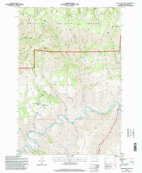
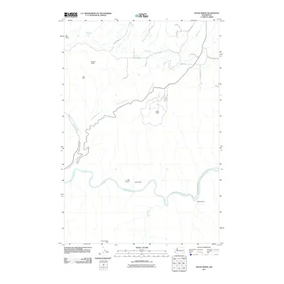
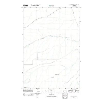
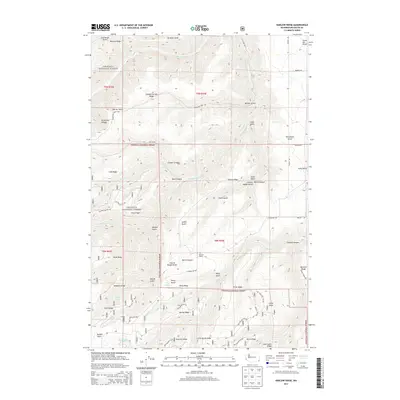
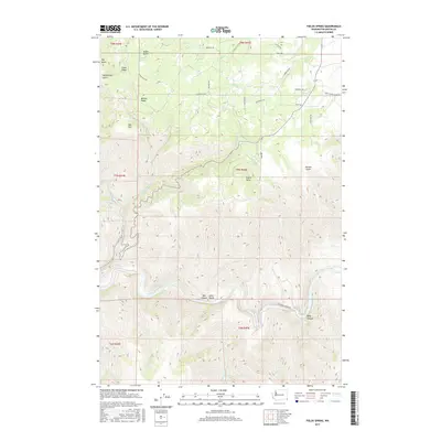
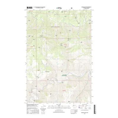
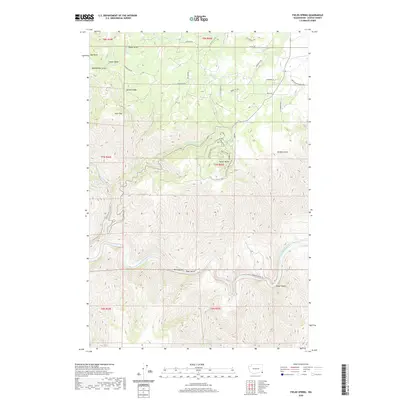
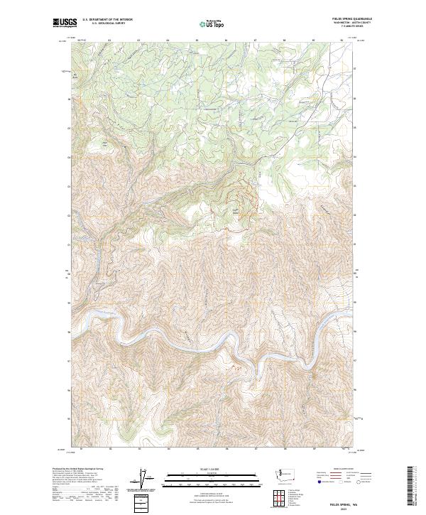
1971 Map of Fields Spring
USGS Topo · Published 1983About this map
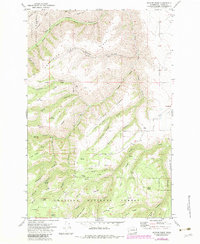
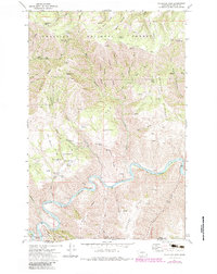
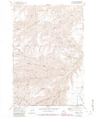
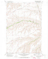
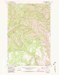
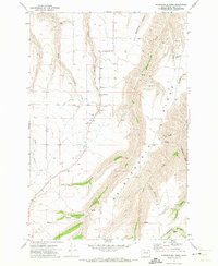
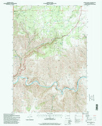
The Grande Ronde River carves a deep, winding path through the borderlands of Washington and Oregon, serving as a primary geographic anchor for this 1970s survey. The landscape is defined by the transition from the high, wooded elevations of the Umatilla National Forest and Fields Spring State Park down to the steep drainage systems of Box Canyon and Deep Canyon. Evidence of land management and recreation is visible through the Deer Creek Trail and various unnamed jeep trails that traverse the ridges.
Find a feature on this map
27 named features on this map. Tap any name to fly to it.
Don’t see what you’re looking for? This feature index may not catch every label — zoom into the map to look around manually.
Map Details
Editions of this 1971 Fields Spring Map
2 editions found
Historical Maps of Asotin County Through Time
54 maps found
1943 Saddle Butte
Asotin County, WA
1946 Saddle Butte
Asotin County, WA
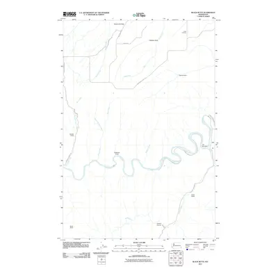
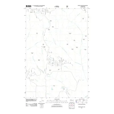
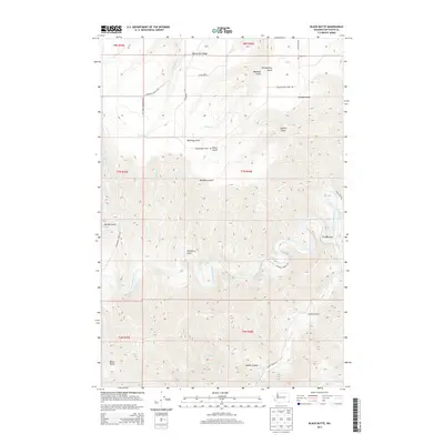
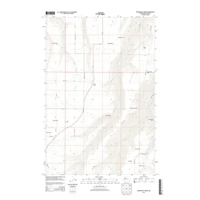
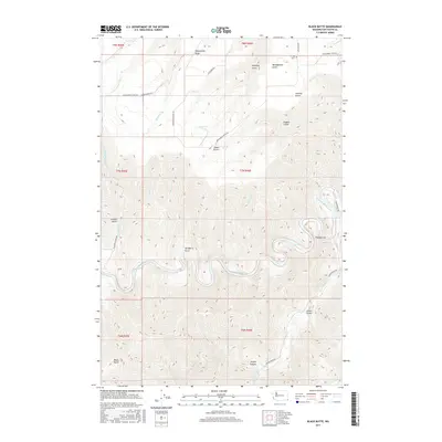
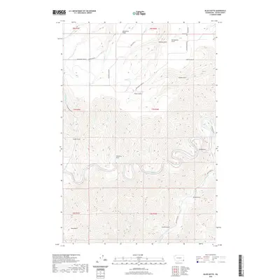
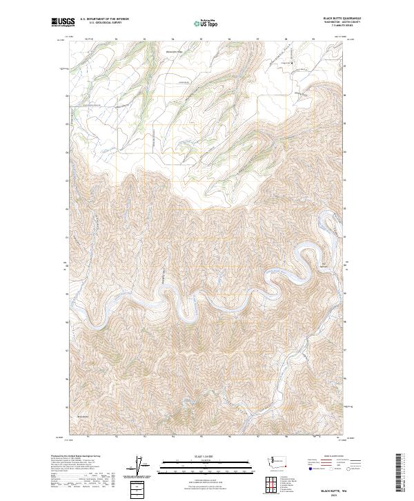
1971 Black Butte
Asotin County, WA
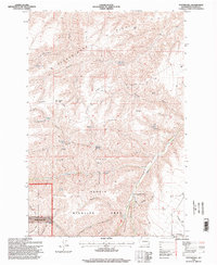
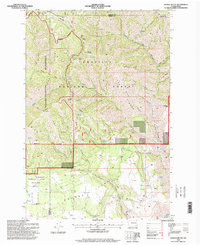
1971 Fields Spring
Asotin County, WA
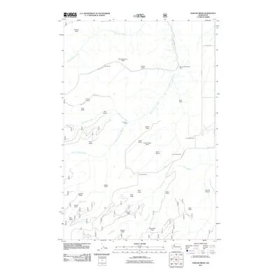
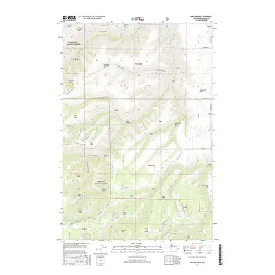
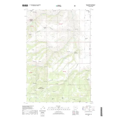
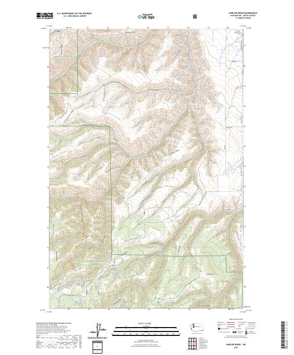
1971 Harlow Ridge
Asotin County, WA
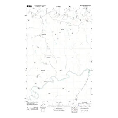
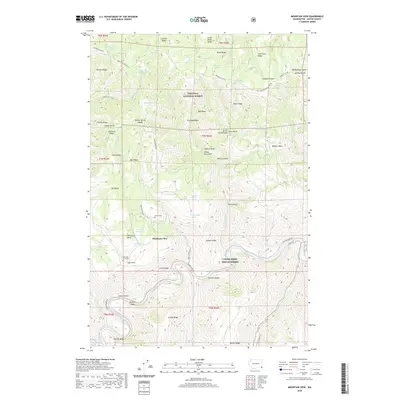
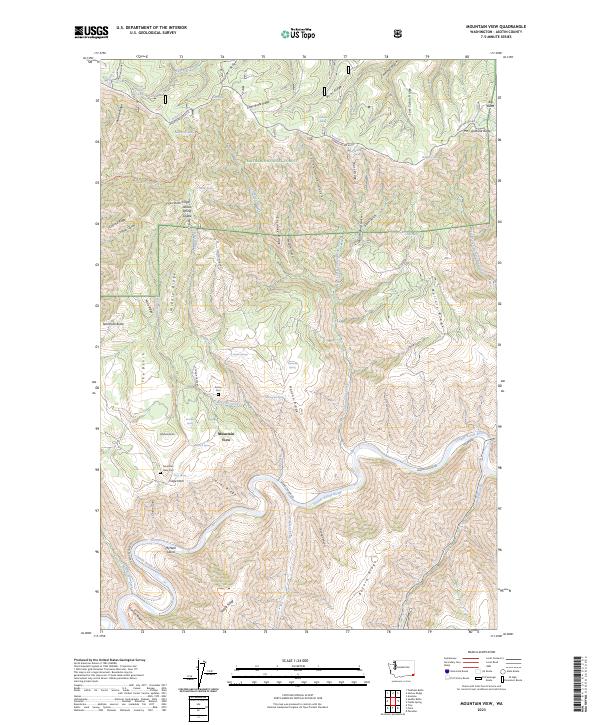
1971 Mountain View
Asotin County, WA
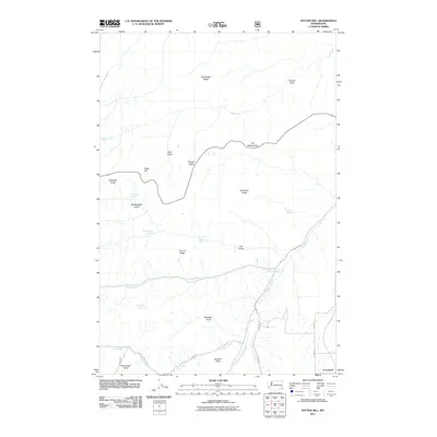
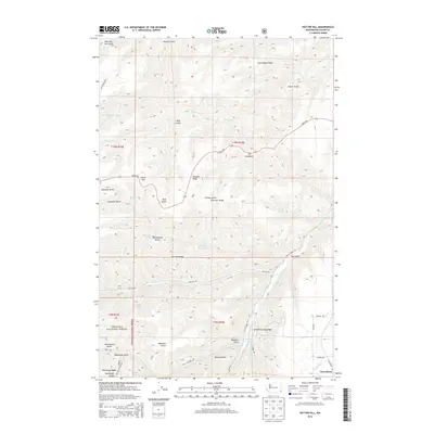
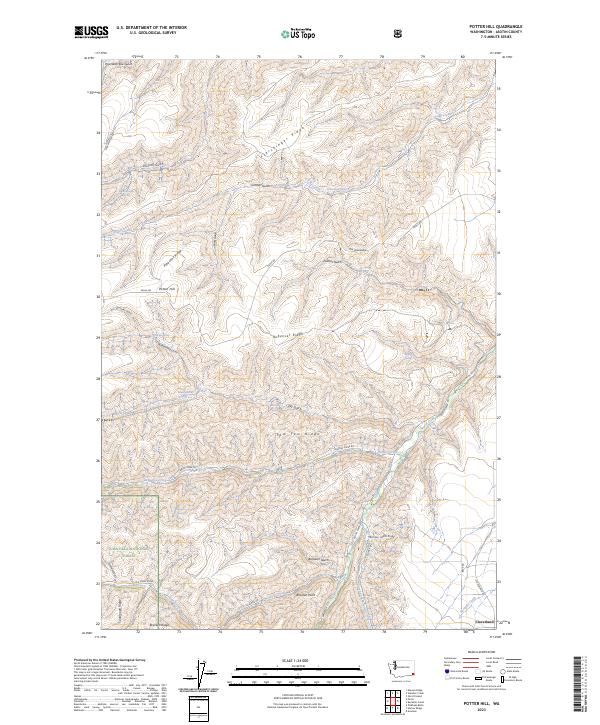
1971 Potter Hill
Asotin County, WA
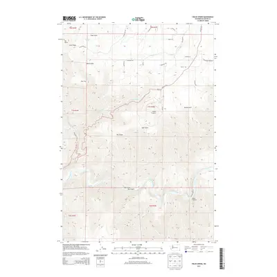
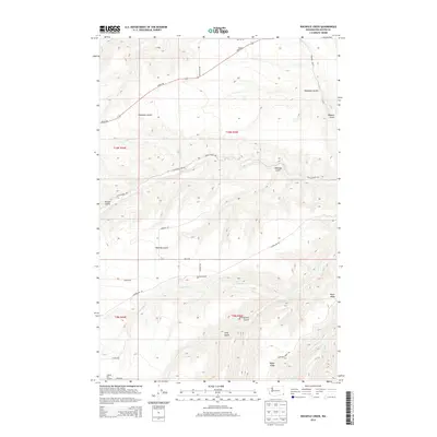
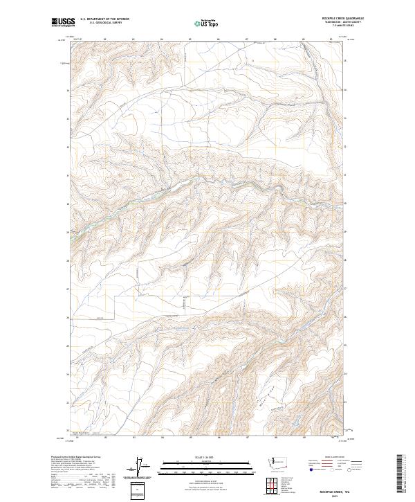
1971 Rockpile Creek
Asotin County, WA
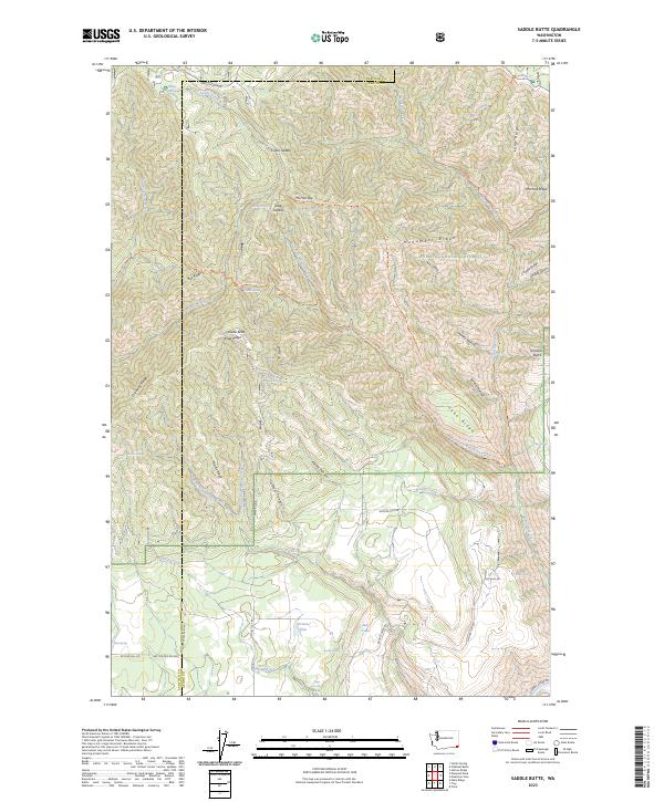
1971 Saddle Butte
Asotin County, WA
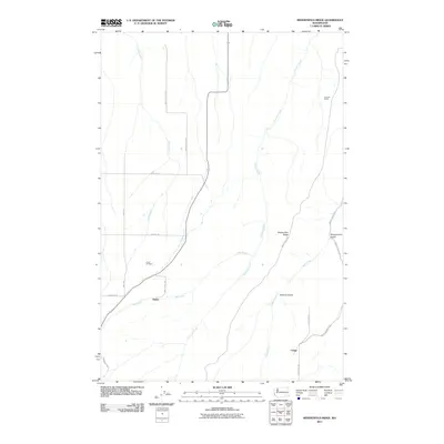
1971 Weissenfels Ridge
Asotin County, WA
1995 Fields Spring
Asotin County, WA
1995 Mountain View
Asotin County, WA
1995 Potter Hill
Asotin County, WA
1995 Saddle Butte
Asotin County, WA
2011 Black Butte
Asotin County, WA
2011 Fields Spring
Asotin County, WA
2011 Harlow Ridge
Asotin County, WA
2011 Mountain View
Asotin County, WA
2011 Potter Hill
Asotin County, WA
2011 Rockpile Creek
Asotin County, WA
2011 Saddle Butte
Asotin County, WA
2011 Weissenfels Ridge
Asotin County, WA
2013 Fields Spring
Asotin County, WA

2013 Mountain View
Asotin County, WA
2013 Potter Hill
Asotin County, WA
2013 Rockpile Creek
Asotin County, WA

2013 Saddle Butte
Asotin County, WA
2014 Black Butte
Asotin County, WA
2014 Harlow Ridge
Asotin County, WA
2014 Weissenfels Ridge
Asotin County, WA
2017 Black Butte
Asotin County, WA
2017 Fields Spring
Asotin County, WA
2017 Harlow Ridge
Asotin County, WA
2017 Mountain View
Asotin County, WA

2017 Potter Hill
Asotin County, WA
2017 Rockpile Creek
Asotin County, WA
2017 Saddle Butte
Asotin County, WA
2017 Weissenfels Ridge
Asotin County, WA
2020 Black Butte
Asotin County, WA
2020 Fields Spring
Asotin County, WA
2020 Harlow Ridge
Asotin County, WA
2020 Mountain View
Asotin County, WA

2020 Potter Hill
Asotin County, WA
2020 Rockpile Creek
Asotin County, WA

2020 Saddle Butte
Asotin County, WA
2020 Weissenfels Ridge
Asotin County, WA
2023 Black Butte
Asotin County, WA
2023 Fields Spring
Asotin County, WA
2023 Harlow Ridge
Asotin County, WA
2023 Mountain View
Asotin County, WA
2023 Potter Hill
Asotin County, WA
2023 Rockpile Creek
Asotin County, WA
2023 Saddle Butte
Asotin County, WA
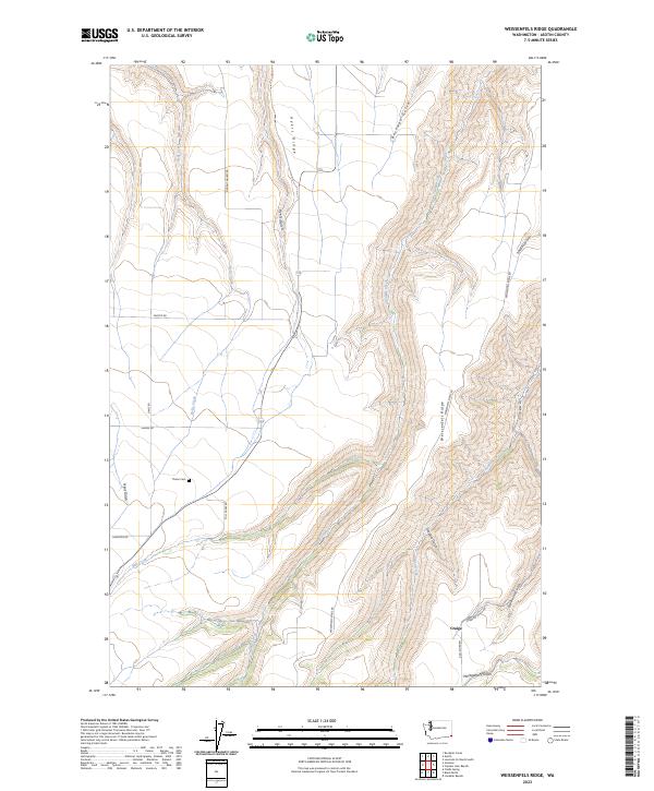
2023 Weissenfels Ridge
Asotin County, WA