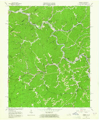
1963 Map of Harman
USGS Topo · Published 1965About this map
The Levisa Fork carves a deep path through the coal-bearing mountains of Buchanan County, Virginia, where the Norfolk and Western railroad tracks follow the river's winding contours. In the early 1960s, this area was a busy corridor of resource extraction and small communities, from the industrial activity at Harman Junction and Weller to the scattered homes at Toonerville and Big Rock. The map illustrates a landscape defined by sharp ridges and numerous hollows, where life centered on the narrow valley floors and gaps like Conaway Gap and Bull Gap. Local infrastructure is well-documented, showing small institutions like the Poplar Creek Church and the Cedar Grove School that served these hollows. Evidence of the region's primary industry is visible in the numerous Strip Mine locations and mine dumps that mark the hillsides above Harman and Maxie, while family names are preserved in locations such as the Ramey Cemetery and Owens Cemetery.
Find a feature on this map
75 named features on this map. Tap any name to fly to it.
Don’t see what you’re looking for? This feature index may not catch every label — zoom into the map to look around manually.
Map Details
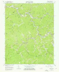
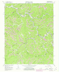
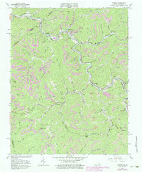
Editions of this 1963 Harman Map
4 editions found
Other maps of this area

1886 · Grundy
USGS Topo · 1:125,000

1890 · Grundy
USGS Topo · 1:125,000

1892 · Grundy
USGS Topo · 1:125,000

1913 · Clintwood
USGS Topo · 1:62,500

1914 · Bucu
USGS Topo · 1:48,000

1914 · Hurley
USGS Topo · 1:48,000

1915 · Clintwood
USGS Topo · 1:62,500

1915 · Regina
USGS Topo · 1:48,000

1915 · Hurley
USGS Topo · 1:48,000

1916 · Bucu
USGS Topo · 1:62,500