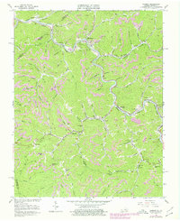
1963 Map of Harman
USGS Topo · Published 1978About this map
Levisa Fork carves through the coal-rich mountains of the Virginia-Kentucky borderlands, serving as the primary corridor for the Norfolk and Western railroad. This industrial landscape is characterized by its numerous Strip Mines and tight-knit mining settlements like Big Rock, Weller, and Harman. The map reveals the deep integration of industry and community life, where Harman Junction serves as a pivotal rail connection and schools like Home Creek Sch and Cedar Grove Sch are tucked into the narrow hollows.
Find a feature on this map
83 named features on this map. Tap any name to fly to it.
Don’t see what you’re looking for? This feature index may not catch every label — zoom into the map to look around manually.
Map Details
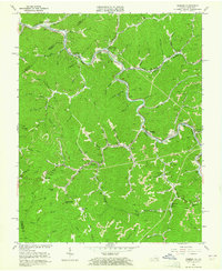
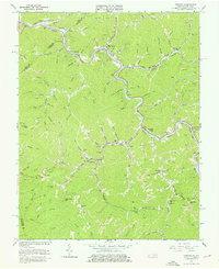
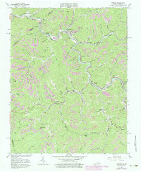
Editions of this 1963 Harman Map
4 editions found
Other maps of this area

1886 · Grundy
USGS Topo · 1:125,000

1890 · Grundy
USGS Topo · 1:125,000

1892 · Grundy
USGS Topo · 1:125,000

1913 · Clintwood
USGS Topo · 1:62,500

1914 · Bucu
USGS Topo · 1:48,000

1914 · Hurley
USGS Topo · 1:48,000

1915 · Clintwood
USGS Topo · 1:62,500

1915 · Regina
USGS Topo · 1:48,000

1915 · Hurley
USGS Topo · 1:48,000

1916 · Bucu
USGS Topo · 1:62,500