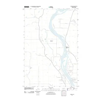
2011 Map of Harmon
USGS Topo · Published 2011About this map
Double Ditch Indian Village stands as a prominent historical landmark on the eastern banks of the Missouri River, marking a site of significant pre-colonial habitation. This 2011 survey captures the river's winding path through Burleigh County, where it is joined by several tributaries including Square Butte Creek and Otter Creek. The landscape transition from the river bottom to the western uplands is marked by the small settlement of Harmon and the Danielson Dam.
Find a feature on this map
52 named features on this map. Tap any name to fly to it.
Don’t see what you’re looking for? This feature index may not catch every label — zoom into the map to look around manually.
Map Details
Editions of this 2011 Harmon Map
This is the sole edition of this map. No revisions or reprints were ever made.
Other maps of this area

1907 · Bismarck
USGS Topo · 1:125,000

1950 · Wilton
USGS Topo · 1:62,500

1950 · Bismarck
USGS Topo · 1:24,000

1951 · Bismarck
USGS Topo · 1:62,500

1951 · Mandan
USGS Topo · 1:24,000

1954 · Bismarck
USGS Topo · 1:250,000

1954 · McClusky
USGS Topo · 1:250,000

1958 · Bismarck
USGS Topo · 1:250,000

1958 · McClusky
USGS Topo · 1:250,000

1962 · Bismarck
USGS Topo · 1:24,000