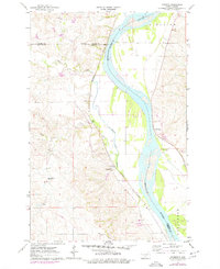
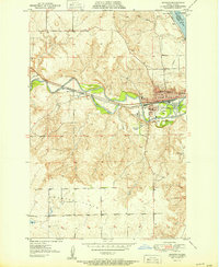
1976 Map of Harmon
USGS Topo · Published 1977About this map
The Missouri River corridor north of Bismarck is defined by its deep cultural history and strategic riverbank topography. On the eastern shore in Burleigh County, the Double Ditch Indian Village stands as a prominent landmark of early Mandan settlement, situated high above the river bends. Across the water in Morton County, the landscape is shaped by the winding courses of Square Butte Creek and Otter Creek as they descend toward the Missouri valley. The Northern Pacific railroad tracks hug the western riverbank, passing through the small settlement of Harmon. Local education and community life are marked by the distributed presence of Square Butte School No 1 and Square Butte School No 2, while the northern reaches include the area of Glenview. This survey provides a look at the rural Missouri River breaks before modern suburban expansion began to alter these historic ranching and farming lands.
Find a feature on this map
14 named features on this map. Tap any name to fly to it.
Don’t see what you’re looking for? This feature index may not catch every label — zoom into the map to look around manually.
Map Details
Editions of this 1976 Harmon Map
This is the sole edition of this map. No revisions or reprints were ever made.
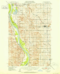
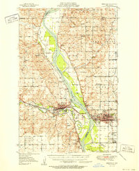
Other maps of this area

1907 · Bismarck
USGS Topo · 1:125,000
1950 · Wilton
USGS Topo · 1:62,500
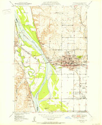
1950 · Bismarck
USGS Topo · 1:24,000
1951 · Bismarck
USGS Topo · 1:62,500
1951 · Mandan
USGS Topo · 1:24,000

1954 · Bismarck
USGS Topo · 1:250,000

1954 · McClusky
USGS Topo · 1:250,000

1958 · Bismarck
USGS Topo · 1:250,000

1958 · McClusky
USGS Topo · 1:250,000
1962 · Bismarck
USGS Topo · 1:24,000