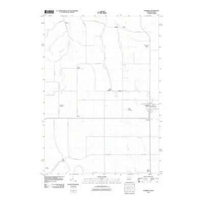
2010 Map of Harmony
USGS Topo · Published 2010About this map
Harmony serves as the primary hub of this landscape on the Minnesota-Iowa border, established at the junction of several regional routes. The town is marked by its central Harmony Post Office and nearby community features like Greenfield Cemetery. Rural life across the quadrangle is defined by a series of small, scattered settlements and watercourses, including Big Spring and the southern reaches of Daisy Valley near the Upper Iowa River.
Find a feature on this map
39 named features on this map. Tap any name to fly to it.
Don’t see what you’re looking for? This feature index may not catch every label — zoom into the map to look around manually.
Map Details
Editions of this 2010 Harmony Map
This is the sole edition of this map. No revisions or reprints were ever made.
Other maps of this area

1906 · Decorah
USGS Topo · 1:125,000

1954 · Mason City
USGS Topo · 1:250,000

1957 · Mason City
USGS Topo · 1:250,000

1958 · Mason City
USGS Topo · 1:250,000

1958 · La Crosse
USGS Topo · 1:250,000

1961 · La Crosse
USGS Topo · 1:250,000

1965 · La Crosse
USGS Topo · 1:250,000

1965 · Greenleafton
USGS Topo · 1:24,000

1965 · Harmony
USGS Topo · 1:24,000

1965 · Canton
USGS Topo · 1:24,000