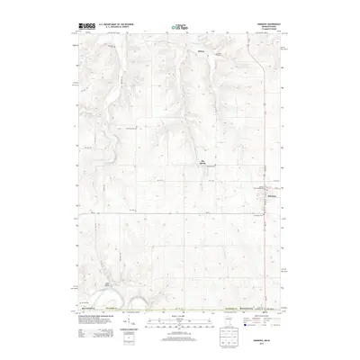
2013 Map of Harmony
USGS Topo · Published 2013About this map
Harmony serves as the central hub of this southeastern Minnesota landscape, situated at the intersection of Us-52 and MN-44. The town is characterized by its organized street grid and proximity to the Harvest Farm Campground. To the west and north, the terrain is defined by a network of drainage systems including Camp Cr, Willow Cr, and Partridge Cr, which eventually give way to the Upper Iowa River along the southern border.
Find a feature on this map
39 named features on this map. Tap any name to fly to it.
Don’t see what you’re looking for? This feature index may not catch every label — zoom into the map to look around manually.
Map Details
Editions of this 2013 Harmony Map
This is the sole edition of this map. No revisions or reprints were ever made.
Other maps of this area

1906 · Decorah
USGS Topo · 1:125,000

1954 · Mason City
USGS Topo · 1:250,000

1957 · Mason City
USGS Topo · 1:250,000

1958 · Mason City
USGS Topo · 1:250,000

1958 · La Crosse
USGS Topo · 1:250,000

1961 · La Crosse
USGS Topo · 1:250,000

1965 · La Crosse
USGS Topo · 1:250,000

1965 · Greenleafton
USGS Topo · 1:24,000

1965 · Harmony
USGS Topo · 1:24,000

1965 · Canton
USGS Topo · 1:24,000