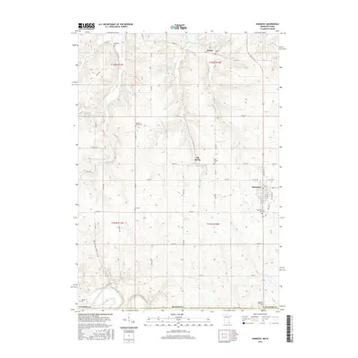
2016 Map of Harmony
USGS Topo · Published 2016About this map
Harmony serves as the primary hub of this corner of Southeast Minnesota, characterized by a grid-patterned town center and the surrounding agricultural landscape of Fillmore County. To the north and west, the terrain is defined by the winding paths of Willow Cr and Partridge Cr, which carve through the countryside near the small settlements of Hutton and Big Spring. The area's deep-rooted history is visible in its numerous small burial grounds, ranging from Waukokee Cem in the north to the State Line Methodist Cem near the Iowa border. The drainage patterns of Deer Cr and Elliott Cr emphasize the transition toward the Upper Iowa River valley at the map's southern edge, while named roads like Jumper Rd and Co Hwy 15 link the scattered farmsteads and rural crossroads.
Find a feature on this map
55 named features on this map. Tap any name to fly to it.
Don’t see what you’re looking for? This feature index may not catch every label — zoom into the map to look around manually.
Map Details
Editions of this 2016 Harmony Map
This is the sole edition of this map. No revisions or reprints were ever made.
Other maps of this area

1906 · Decorah
USGS Topo · 1:125,000

1954 · Mason City
USGS Topo · 1:250,000

1957 · Mason City
USGS Topo · 1:250,000

1958 · Mason City
USGS Topo · 1:250,000

1958 · La Crosse
USGS Topo · 1:250,000

1961 · La Crosse
USGS Topo · 1:250,000

1965 · La Crosse
USGS Topo · 1:250,000

1965 · Greenleafton
USGS Topo · 1:24,000

1965 · Harmony
USGS Topo · 1:24,000

1965 · Canton
USGS Topo · 1:24,000