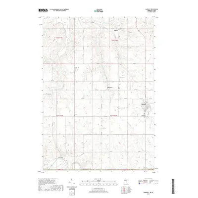
2019 Map of Harmony
USGS Topo · Published 2019About this map
The Upper Iowa River winds across the southern reaches of this landscape, just north of the border between Minnesota and Iowa. In this agricultural corner of Fillmore County, the city of Harmony serves as a primary hub, intersected by a network of roads including Co HWY 22 and 120th ST. The map reveals a high density of rural burial sites that document the area's pioneer heritage, such as Greenfield Cem, Rice Cem, and the State Line Methodist Cem sitting right against the boundary line.
Find a feature on this map
53 named features on this map. Tap any name to fly to it.
Don’t see what you’re looking for? This feature index may not catch every label — zoom into the map to look around manually.
Map Details
Editions of this 2019 Harmony Map
This is the sole edition of this map. No revisions or reprints were ever made.
Other maps of this area

1906 · Decorah
USGS Topo · 1:125,000

1954 · Mason City
USGS Topo · 1:250,000

1957 · Mason City
USGS Topo · 1:250,000

1958 · Mason City
USGS Topo · 1:250,000

1958 · La Crosse
USGS Topo · 1:250,000

1961 · La Crosse
USGS Topo · 1:250,000

1965 · La Crosse
USGS Topo · 1:250,000

1965 · Greenleafton
USGS Topo · 1:24,000

1965 · Harmony
USGS Topo · 1:24,000

1965 · Canton
USGS Topo · 1:24,000