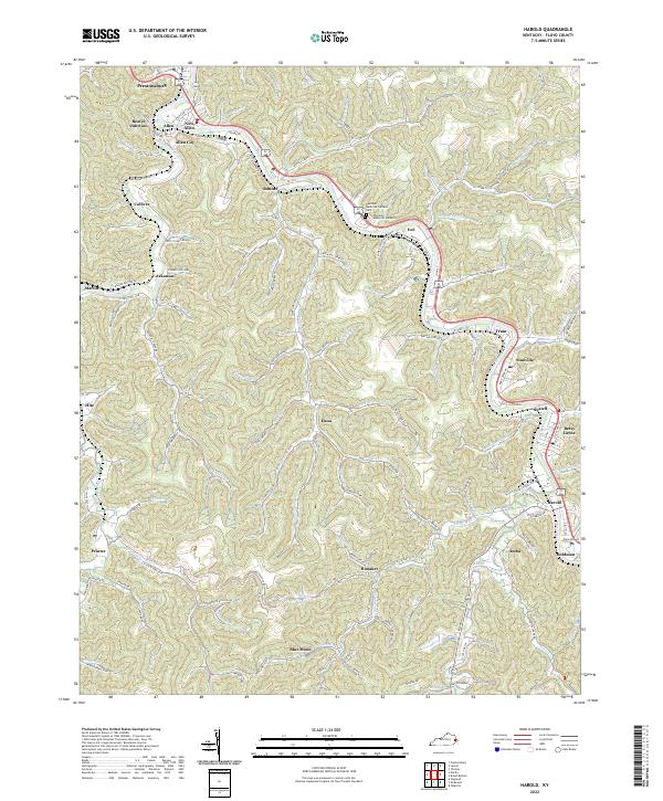
2022 Map of Harold
USGS Topo · Published 2022This historical map portrays the area of Harold in 2022, primarily covering Floyd County. Featuring a scale of 1:24000, this map provides a highly detailed snapshot of the terrain, roads, buildings, counties, and historical landmarks in the Harold region at the time. Published in 2022, it is the sole known edition of this map.
Map Details
Editions of this 2022 Harold Map
This is the sole edition of this map. No revisions or reprints were ever made.
Historical Maps of Betsy Layne Through Time
12 maps found

1914 Laynesville
Floyd County, KY
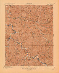
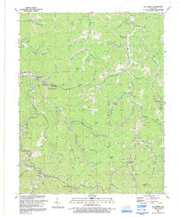
1916 Harold
Floyd County, KY
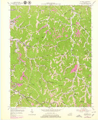
1954 Harold
Floyd County, KY
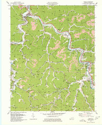
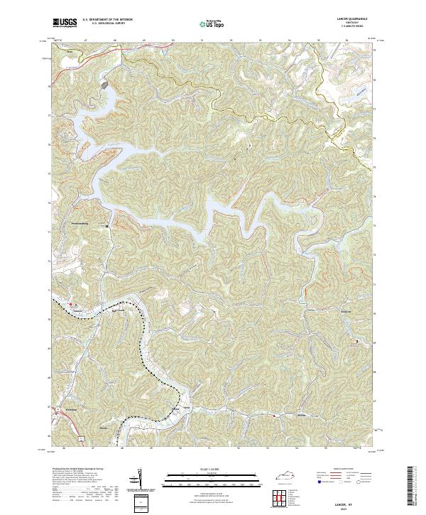
1954 Lancer
Floyd County, KY
1954 Mc Dowell
Floyd County, KY
1978 Lancer
Floyd County, KY
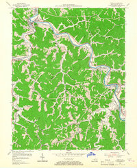
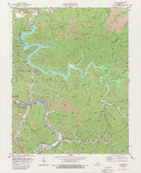
1979 Harold
Floyd County, KY
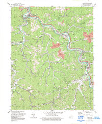
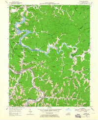
1992 Harold
Floyd County, KY

1992 Lancer
Floyd County, KY
1992 Mc Dowell
Floyd County, KY
2022 Harold
Floyd County, KY
2023 Lancer
Floyd County, KY