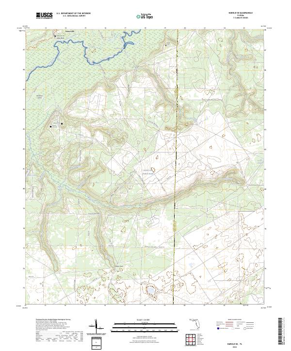
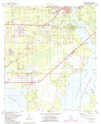
2024 Map of Harold SE
USGS Topo · Published 2024About this map
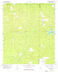
The Yellow River winds through the northern reaches of this landscape, supporting a complex network of wetlands and tributaries such as Burnt Grocery Creek and Broxson Branch. This area of Santa Rosa and Okaloosa counties is defined by the intersection of conservation land at Yellow River State Frt and the military infrastructure of Eglin Air Force Base. Small settlements like Parkerville and Indigo Head are situated near extensive hollows and ridges, including Dry Hollow and Big Hollow. For those tracing family histories, several burial sites are documented across the terrain, including Miller Bluff Cem near the river bluffs and Flowers Field Cem further south. The map provides a detailed view of the numerous named branches and creeks, such as Tigertail Branch and Little Boiling Creek, that drain into the larger river system.
Find a feature on this map
55 named features on this map. Tap any name to fly to it.
Don’t see what you’re looking for? This feature index may not catch every label — zoom into the map to look around manually.
Map Details
Editions of this 2024 Harold SE Map
This is the sole edition of this map. No revisions or reprints were ever made.
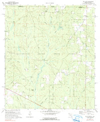
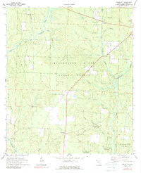
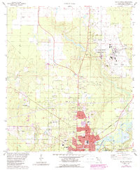
Historical Maps of Okaloosa County Through Time
18 maps found
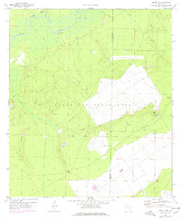
1970 Harold SE
Santa Rosa County, FL
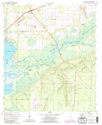
1970 Ward Basin
Santa Rosa County, FL
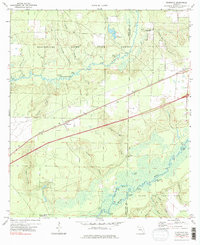
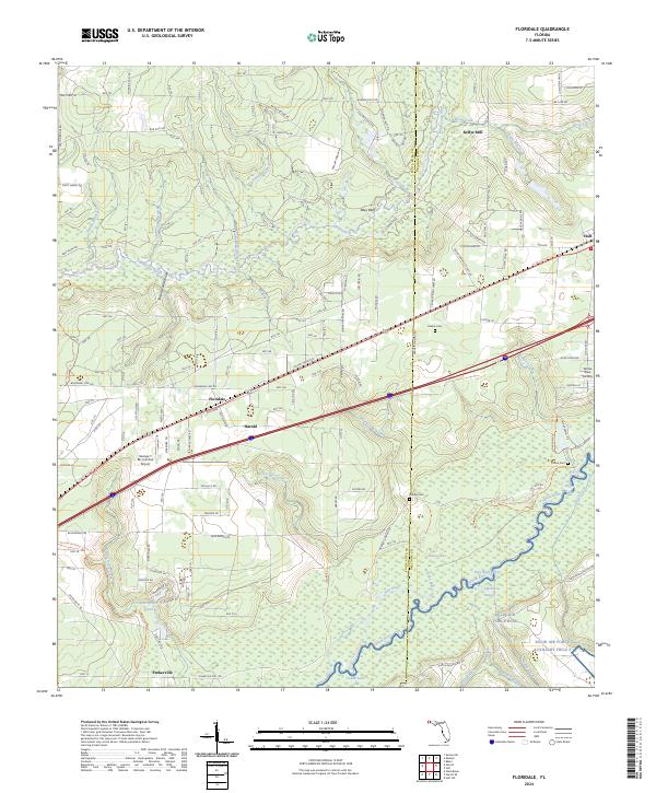
1973 Floridale
Santa Rosa County, FL
1973 Hurricane Lake
Santa Rosa County, FL
1973 McLellan
Santa Rosa County, FL
1973 Spring Hill
Santa Rosa County, FL
1978 Milton North
Santa Rosa County, FL
1978 Milton South
Santa Rosa County, FL
1994 Milton South
Santa Rosa County, FL
1994 Ward Basin
Santa Rosa County, FL
2024 Floridale
Santa Rosa County, FL
2024 Harold SE
Santa Rosa County, FL
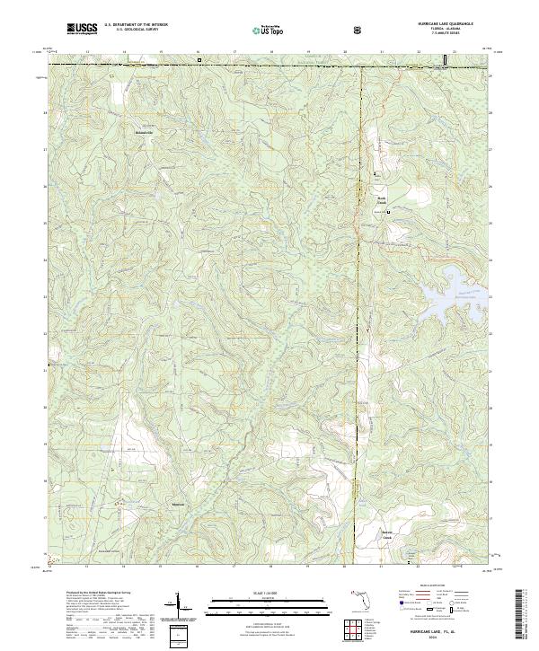
2024 Hurricane Lake
Santa Rosa County, FL
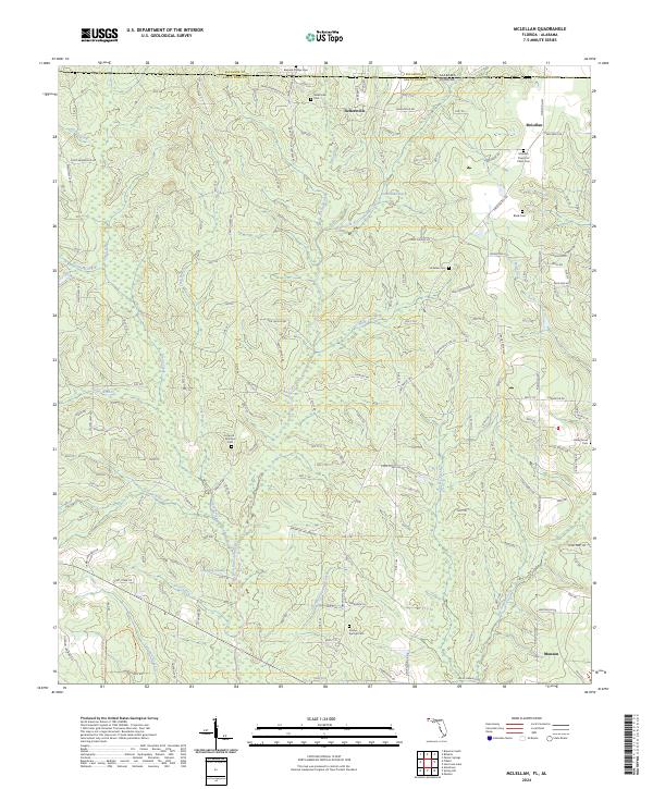
2024 McLellan
Santa Rosa County, FL
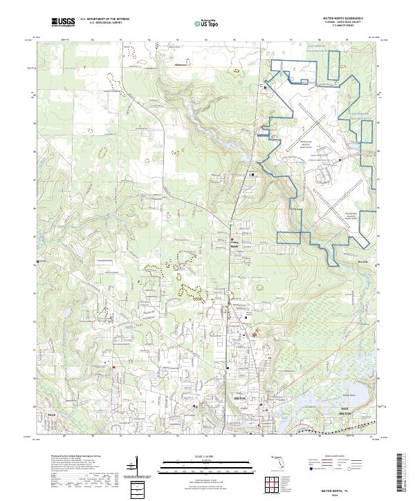
2024 Milton North
Santa Rosa County, FL
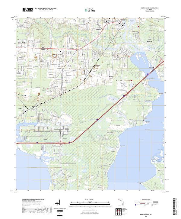
2024 Milton South
Santa Rosa County, FL
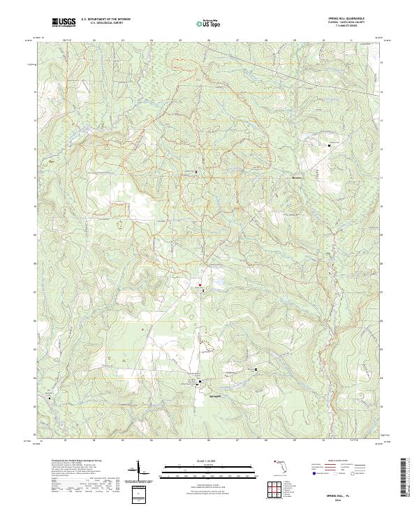
2024 Spring Hill
Santa Rosa County, FL
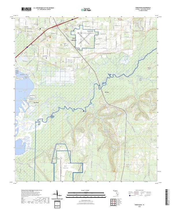
2024 Ward Basin
Santa Rosa County, FL