
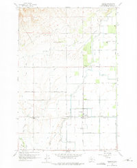
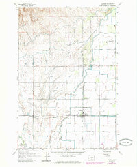
1958 Map of Harrah
USGS Topo · Published 1960About this map
The agrarian landscape of the Yakima Valley is defined here by an intricate network of irrigation, captured in the late 1950s. The town of Harrah sits as a central hub, surrounded by a grid of numbered laterals and major arteries like the Main Canal and Highline Canal. This system transformed the arid geography of Dills Bench and Olney Flat into a productive agricultural region, with the Northern Pacific railroad corridor providing the essential connection for moving local goods.
Find a feature on this map
123 named features on this map. Tap any name to fly to it.
Don’t see what you’re looking for? This feature index may not catch every label — zoom into the map to look around manually.
Map Details
Editions of this 1958 Harrah Map
Other maps of this area

1899 · Ellensburg
USGS Topo · 1:125,000

1901 · Ellensburg
USGS Topo · 1:125,000

1910 · Zillah
USGS Topo · 1:125,000

1936 · Yakima East
USGS Topo · 1:48,000

1937 · White Swan
USGS Topo · 1:125,000

1941 · Yakima East
USGS Topo · 1:62,500

1950 · Yakima
USGS Topo · 1:250,000

1953 · Yakima East
USGS Topo · 1:24,000
1953 · Yakima East
USGS Topo · 1:62,500

1958 · Toppenish SW
USGS Topo · 1:24,000