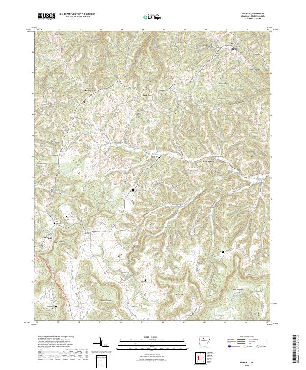
2024 Map of Harriet
USGS Topo · Published 2024About this map
Marshall serves as a prominent focal point in this Ozark landscape, situated near the western edge of the quadrangle. The terrain is defined by a dense network of hollows and ridges, such as Devils Backbone and Mears Hollow, which have long dictated the pattern of local settlement and transport. Numerous small burial grounds, including Red Hill Cem, Wilson Cem, and Shiloh Cem, are scattered throughout the hills, providing valuable markers for genealogical research. Smaller communities like Harriet, Lone Pine, and Morning Star are connected by winding routes like Searcy 50 Hwy and Searcy 117 Hwy. The drainage of Big Creek and Beaver Creek carves deep into the limestone topography, illustrating the traditional rural Arkansas reliance on valley floors for both passage and water.
Find a feature on this map
127 named features on this map. Tap any name to fly to it.
Don’t see what you’re looking for? This feature index may not catch every label — zoom into the map to look around manually.
Map Details
Editions of this 2024 Harriet Map
This is the sole edition of this map. No revisions or reprints were ever made.
Other maps of this area

1890 · Mountain Home
USGS Topo · 1:125,000

1891 · Mountain Home
USGS Topo · 1:125,000

1892 · Marshall
USGS Topo · 1:125,000

1892 · Mountain View
USGS Topo · 1:125,000

1893 · Yellville
USGS Topo · 1:125,000

1894 · Mountain View
USGS Topo · 1:125,000

1894 · Mountain Home
USGS Topo · 1:125,000

1894 · Marshall
USGS Topo · 1:125,000

1901 · Marshall
USGS Topo · 1:125,000

1903 · Yellville
USGS Topo · 1:125,000