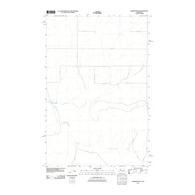
2011 Map of Harrington SE
USGS Topo · Published 2011About this map
Crab Creek and its South Fork meander through this agricultural portion of Adams County, carving a distinct hydrological path across the eastern Washington landscape. The 2011 survey reveals a grid of rural section-line roads, many named for local families such as Schuh Rd E, Walters Rd N, and Rogers Rd E, which reflect the area's deep-rooted farming heritage. Central to the local transportation network is the Rocky Ford Bridge, a notable crossing over the creek bed. The map documents a landscape defined by expansive open spaces and the systematic division of land by thoroughfares like Zundel Rd E and Manke Rd E, providing a clear view of the rural infrastructure as it stood in the early 21st century.
Find a feature on this map
17 named features on this map. Tap any name to fly to it.
Don’t see what you’re looking for? This feature index may not catch every label — zoom into the map to look around manually.
Map Details
Editions of this 2011 Harrington SE Map
This is the sole edition of this map. No revisions or reprints were ever made.
Other maps of this area

1953 · Ritzville
USGS Topo · 1:250,000

1959 · Ritzville
USGS Topo · 1:250,000

1964 · Karakul Hills
USGS Topo · 1:24,000

1965 · Ritzville
USGS Topo · 1:250,000

1967 · Ritzville NE
USGS Topo · 1:24,000

1967 · Ritzville NW
USGS Topo · 1:24,000

1969 · Harrington
USGS Topo · 1:24,000

1969 · Lords Valley
USGS Topo · 1:24,000

1969 · Cormana Lake
USGS Topo · 1:24,000

1969 · Lamona
USGS Topo · 1:24,000