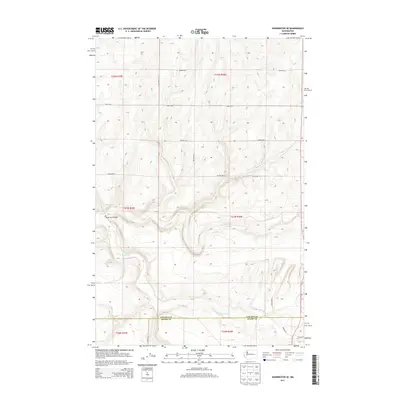
2013 Map of Harrington SE
USGS Topo · Published 2013About this map
Crab Cr and its southern branch, the S Fork Crab Cr, carve a distinct drainage system through this portion of the Inland Empire. The landscape is defined by the rigid geometry of the Public Land Survey System, with roads like Walters Rd N and Templin Rd N following section lines across the high plateau. The Rocky Ford Bridge provides a rare fixed crossing over the creek bed, marking a vital point in the local transportation network that serves the surrounding agricultural tracts. This 2013 survey by the U.S. Geological Survey illustrates the enduring rural character of the region as it straddles the Lincoln and Adams county line. The map captures the intersection of natural hydrology and human-imposed boundaries, where family-named routes such as Schuh Rd E and Manke Rd E connect isolated farmsteads.
Find a feature on this map
24 named features on this map. Tap any name to fly to it.
Don’t see what you’re looking for? This feature index may not catch every label — zoom into the map to look around manually.
Map Details
Editions of this 2013 Harrington SE Map
This is the sole edition of this map. No revisions or reprints were ever made.
Other maps of this area

1953 · Ritzville
USGS Topo · 1:250,000

1959 · Ritzville
USGS Topo · 1:250,000

1964 · Karakul Hills
USGS Topo · 1:24,000

1965 · Ritzville
USGS Topo · 1:250,000

1967 · Ritzville NE
USGS Topo · 1:24,000

1967 · Ritzville NW
USGS Topo · 1:24,000

1969 · Harrington
USGS Topo · 1:24,000

1969 · Lords Valley
USGS Topo · 1:24,000

1969 · Cormana Lake
USGS Topo · 1:24,000

1969 · Lamona
USGS Topo · 1:24,000