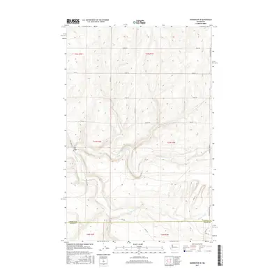
2017 Map of Harrington SE
USGS Topo · Published 2017About this map
Crab Cr and the S Fork Crab Cr define the drainage patterns of this rural landscape on the border of Lincoln and Adams counties. The terrain is characterized by the complex coulees and plateaus typical of the channeled scablands, where the watercourses cut through ancient basalt layers. Rocky Ford Bridge provides a key crossing point near the junction of Rocky Ford Rd N, marking a significant navigational landmark in an area otherwise dominated by large-scale agricultural divisions.
Find a feature on this map
28 named features on this map. Tap any name to fly to it.
Don’t see what you’re looking for? This feature index may not catch every label — zoom into the map to look around manually.
Map Details
Editions of this 2017 Harrington SE Map
This is the sole edition of this map. No revisions or reprints were ever made.
Other maps of this area

1953 · Ritzville
USGS Topo · 1:250,000

1959 · Ritzville
USGS Topo · 1:250,000

1964 · Karakul Hills
USGS Topo · 1:24,000

1965 · Ritzville
USGS Topo · 1:250,000

1967 · Ritzville NE
USGS Topo · 1:24,000

1967 · Ritzville NW
USGS Topo · 1:24,000

1969 · Harrington
USGS Topo · 1:24,000

1969 · Lords Valley
USGS Topo · 1:24,000

1969 · Cormana Lake
USGS Topo · 1:24,000

1969 · Lamona
USGS Topo · 1:24,000