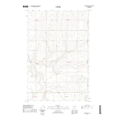
2020 Map of Harrington SE
USGS Topo · Published 2020About this map
The rolling hills of the Columbia Plateau define this landscape along the border of Lincoln and Adams counties. The geography is shaped by the winding course of S Fork Crab Cr, which snakes through the western half of the map before merging with the main channel of Crab Cr. This area is characterized by a grid of rural roads that often follow section lines, yet must occasionally bend to accommodate the unique coulees and basalt-strewn drainage patterns typical of Washington's inland basin.
Find a feature on this map
28 named features on this map. Tap any name to fly to it.
Don’t see what you’re looking for? This feature index may not catch every label — zoom into the map to look around manually.
Map Details
Editions of this 2020 Harrington SE Map
This is the sole edition of this map. No revisions or reprints were ever made.
Other maps of this area

1953 · Ritzville
USGS Topo · 1:250,000

1959 · Ritzville
USGS Topo · 1:250,000

1964 · Karakul Hills
USGS Topo · 1:24,000

1965 · Ritzville
USGS Topo · 1:250,000

1967 · Ritzville NE
USGS Topo · 1:24,000

1967 · Ritzville NW
USGS Topo · 1:24,000

1969 · Harrington
USGS Topo · 1:24,000

1969 · Lords Valley
USGS Topo · 1:24,000

1969 · Cormana Lake
USGS Topo · 1:24,000

1969 · Lamona
USGS Topo · 1:24,000