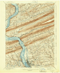
1899 Map of Harrisburg
USGS Topo · Published 1943About this map
The Susquehanna River dominates this late-nineteenth-century landscape, carving through a series of parallel ridges including Peters Mountain, Second Mountain, and Blue Mountain. The state capital, Harrisburg, is shown as a developed grid at the southern end of the sheet, where the State Lunatic Asylum and the Paxtang area signify the city's outward growth. The era’s industrial backbone is clearly visible in the extensive transport network, featuring the Pennsylvania Canal (Abandoned) tracing the riverbank and the complex junctions of the Northern Central R. R. and the Pennsylvania Railroad. To the north, the river is dotted with large landforms like Haldeman Island and Clemson Island, while the gaps in the ridges provided strategic passage for settlements like Dauphin and Marysville. This map provides a look at the transition from canal-based commerce to the dominant railroad age in the Susquehanna Valley.
Find a feature on this map
86 named features on this map. Tap any name to fly to it.
Don’t see what you’re looking for? This feature index may not catch every label — zoom into the map to look around manually.
Map Details
Editions of this 1899 Harrisburg Map
15 editions found

1899 edition
16.5 x 19.9 inches
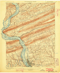
1902 edition
16.5 x 20 inches
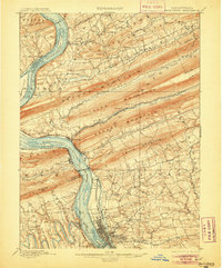
1905 edition
16.5 x 19.9 inches
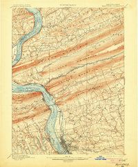
1906 edition
16.5 x 19.9 inches
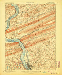
1907 edition
16.5 x 19.9 inches
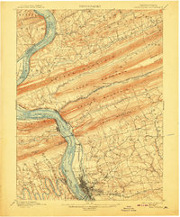
1908 edition
16.5 x 19.9 inches
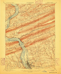
1909 edition
16.5 x 19.9 inches
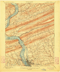
1910 edition
16.5 x 20 inches
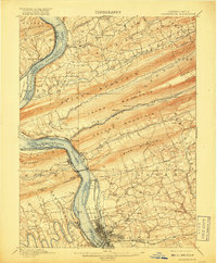
1917 edition
16.5 x 19.9 inches
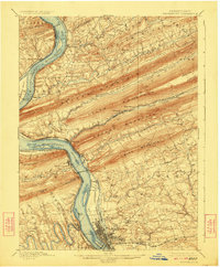
1924 edition
16.5 x 20 inches
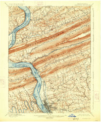
1926 edition
16.5 x 20 inches
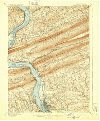
1929 edition
16.5 x 20 inches
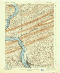
1937 edition
16.5 x 20 inches
1943 edition
16.5 x 20 inches
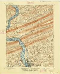
1948 edition
17 x 21 inches
Other maps of this area

1892 · Lykens
USGS Topo · 1:62,500

1892 · Hummelstown
USGS Topo · 1:62,500

1892 · Harrisburg
USGS Topo · 1:62,500

1893 · Lykens
USGS Topo · 1:62,500

1893 · Millersburg
USGS Topo · 1:62,500
1899 · Harrisburg
USGS Topo · 1:62,500

1904 · Carlisle
USGS Topo · 1:62,500

1906 · New Cumberland
USGS Topo · 1:62,500

1907 · New Bloomfield
USGS Topo · 1:62,500

1907 · Millerstown
USGS Topo · 1:62,500
Featured Places
- Harrisburg, PA
- Colonial Park, Lower Paxton Township
- Progress, Susquehanna Township
- Linglestown, Lower Paxton Township
- Enola, East Pennsboro Township