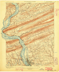
1899 Map of Harrisburg
USGS Topo · Published 1902About this map
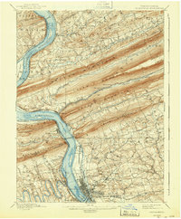
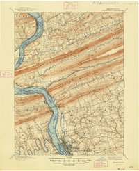
The Susquehanna River dominates this landscape, its broad course punctuated by numerous islands like Sheets Island and Duncan Island. This late-19th-century survey reveals a corridor of vital transport infrastructure, where the Pennsylvania Canal runs parallel to the river's eastern bank, flanked by the Northern Central Railroad. The city of Harrisburg is shown with its street grid and industrial footprint, featuring the prominent State Lunatic Asylum on its northern outskirts. Northward, the terrain shifts into the sharp ridge-and-valley formations of Blue Mountain, Second Mountain, and Peters Mountain, which forced early settlements and rail lines like the Philadelphia and Reading Railroad into narrow water gaps. Smaller communities such as Dauphin, Marysville, and Halifax serve as anchors along the river, illustrating the region's reliance on the water-and-rail economy before the turn of the century.
Find a feature on this map
90 named features on this map. Tap any name to fly to it.
Don’t see what you’re looking for? This feature index may not catch every label — zoom into the map to look around manually.
Map Details
Editions of this 1899 Harrisburg Map
15 editions found

1899 edition
16.5 x 19.9 inches
1902 edition
16.5 x 20 inches
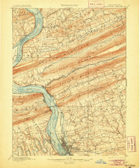
1905 edition
16.5 x 19.9 inches
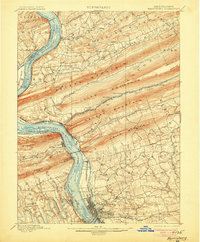
1906 edition
16.5 x 19.9 inches
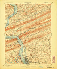
1907 edition
16.5 x 19.9 inches
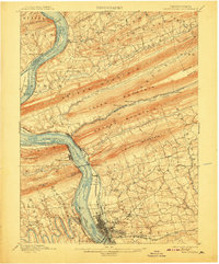
1908 edition
16.5 x 19.9 inches
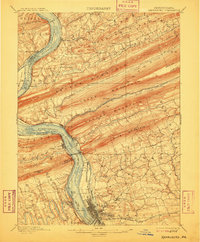
1909 edition
16.5 x 19.9 inches
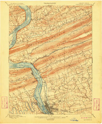
1910 edition
16.5 x 20 inches
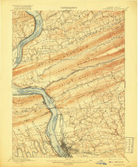
1917 edition
16.5 x 19.9 inches
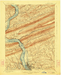
1924 edition
16.5 x 20 inches
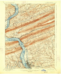
1926 edition
16.5 x 20 inches
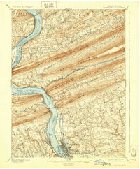
1929 edition
16.5 x 20 inches
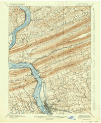
1937 edition
16.5 x 20 inches
1943 edition
16.5 x 20 inches
1948 edition
17 x 21 inches
Other maps of this area

1892 · Lykens
USGS Topo · 1:62,500

1892 · Hummelstown
USGS Topo · 1:62,500

1892 · Harrisburg
USGS Topo · 1:62,500

1893 · Lykens
USGS Topo · 1:62,500

1893 · Millersburg
USGS Topo · 1:62,500
1899 · Harrisburg
USGS Topo · 1:62,500

1904 · Carlisle
USGS Topo · 1:62,500

1906 · New Cumberland
USGS Topo · 1:62,500

1907 · New Bloomfield
USGS Topo · 1:62,500

1907 · Millerstown
USGS Topo · 1:62,500
Featured Places
- Harrisburg, PA
- Colonial Park, Lower Paxton Township
- Progress, Susquehanna Township
- Linglestown, Lower Paxton Township
- Enola, East Pennsboro Township