
1957 Map of Harrisburg
USGS Topo · Published 1957About this map
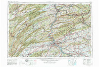
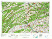
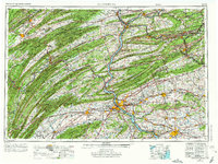
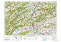
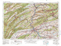
The Susquehanna River serves as the central artery for this mid-century survey of Pennsylvania's Ridge-and-Valley province. Following the end of World War II, the region shows a dense concentration of infrastructure, where major transportation corridors like the Pennsylvania Railroad and the Pennsylvania Turnpike parallel the ancient watercourses of the Juniata River and Swatara Creek. The map documents a heavily militarized landscape between the Susquehanna and the Maryland border, featuring the Carlisle Barracks, Indiantown Gap Military Reservation, and the Letterkenny Army Ordnance Depot.
Find a feature on this map
152 named features on this map. Tap any name to fly to it.
Don’t see what you’re looking for? This feature index may not catch every label — zoom into the map to look around manually.
Map Details
Editions of this 1957 Harrisburg Map
7 editions found
Historical Maps of Colonial Crest Through Time
10 maps found
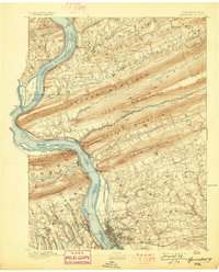
1892 Harrisburg
Dauphin County, PA
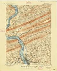
1899 Harrisburg
Dauphin County, PA

1924 Harrisburg
Dauphin County, PA
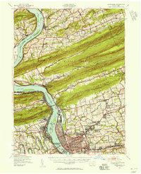
1943 Harrisburg
Dauphin County, PA

1950 Harrisburg
Dauphin County, PA
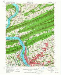
1956 Harrisburg
Dauphin County, PA
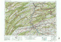
1957 Harrisburg
Dauphin County, PA
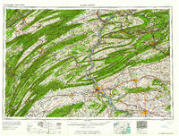
1961 Harrisburg
Dauphin County, PA

1964 Harrisburg
Dauphin County, PA
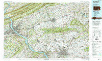
1984 Harrisburg
Dauphin County, PA