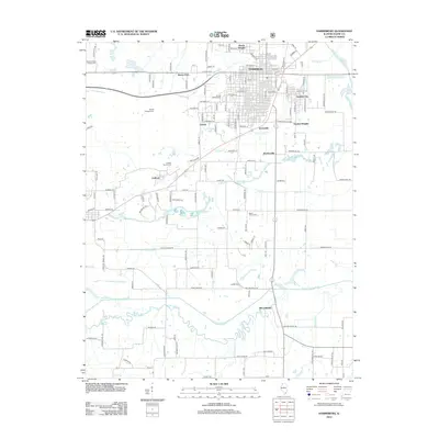
2012 Map of Harrisburg
USGS Topo · Published 2012About this map
Harrisburg sits at the heart of this Saline County study, surrounded by a ring of established neighborhoods and residential extensions including Dorris Heights, Gaskins City, Dorrisville, and Garden Heights. The landscape is characterized by its numerous family-named burial grounds, such as the Moore-Vinson Family Cem and the Butler Family Cem, which offer significant value for genealogical research in the region. The drainage patterns of the Middle Fork Saline River and its various tributaries like Pankey Br and Brier Cr define the surrounding rural landscape. To the south, the terrain becomes increasingly defined by the meandering course of the South Fork Saline River, including its Old Channel and the convergence of Battle Ford Cr. Smaller outlying settlements like Ledford and Mitchellsville are connected by a network of rural roads that weave between these waterways and family landmarks.
Find a feature on this map
140 named features on this map. Tap any name to fly to it.
Don’t see what you’re looking for? This feature index may not catch every label — zoom into the map to look around manually.
Map Details
Editions of this 2012 Harrisburg Map
This is the sole edition of this map. No revisions or reprints were ever made.
Other maps of this area

1905 · Eldorado
USGS Topo · 1:62,500

1906 · Eldorado
USGS Topo · 1:62,500

1908 · Galatia
USGS Topo · 1:62,500

1916 · Equality
USGS Topo · 1:62,500

1925 · Harrisburg
USGS Topo · 1:62,500

1938 · Galatia
USGS Topo · 1:62,500

1939 · Harrisburg
USGS Topo · 1:62,500

1949 · Paducah
USGS Topo · 1:250,000

1950 · Paducah
USGS Topo · 1:250,000

1954 · Paducah
USGS Topo · 1:250,000