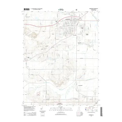
2015 Map of Harrisburg
USGS Topo · Published 2015About this map
Harrisburg serves as the primary hub of this Saline County landscape, where an intricate grid of streets like W Poplar St and E Logan St gives way to a network of surrounding settlements including Buena Vista, Gaskins City, and Dorrisville. For genealogists, the map is remarkably dense with ancestral landmarks, documenting numerous family-named burial grounds such as Moore-Vinson Family Cem, Ledford Family Cem, and the Blackman Family Cem. To the south, the terrain transitions into the protected woodlands of the Shawnee National Forest. The local geography is defined by the winding paths of the Middle Fork Saline River and the South Fork Saline River, along with several smaller tributaries like Battle Ford Cr and Brier Cr. Small residential pockets such as Garden Heights and Liberty flank the city center, while the larger community of Carrier Mills anchors the western portion of the sheet.
Find a feature on this map
80 named features on this map. Tap any name to fly to it.
Don’t see what you’re looking for? This feature index may not catch every label — zoom into the map to look around manually.
Map Details
Editions of this 2015 Harrisburg Map
This is the sole edition of this map. No revisions or reprints were ever made.
Other maps of this area

1905 · Eldorado
USGS Topo · 1:62,500

1906 · Eldorado
USGS Topo · 1:62,500

1908 · Galatia
USGS Topo · 1:62,500

1916 · Equality
USGS Topo · 1:62,500

1925 · Harrisburg
USGS Topo · 1:62,500

1938 · Galatia
USGS Topo · 1:62,500

1939 · Harrisburg
USGS Topo · 1:62,500

1949 · Paducah
USGS Topo · 1:250,000

1950 · Paducah
USGS Topo · 1:250,000

1954 · Paducah
USGS Topo · 1:250,000