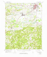
1961 Map of Harrisburg
USGS Topo · Published 1965About this map
The industrial heart of Southern Illinois is visible here, where the rail-linked coal mines of the Saline County coalfield meet the northern reaches of the Shawnee National Forest. The landscape is defined by the heavy footprint of the extractive economy, with extensive Strip Mines and named shafts such as Sahara Mine No 7 and the Blue Bird Mine No 7 clustered near Harrisburg and Carrier Mills. These mining operations are interwoven with older rural landmarks like the Sahara Mine No 16 Cem and the Providence Ch.
Find a feature on this map
95 named features on this map. Tap any name to fly to it.
Don’t see what you’re looking for? This feature index may not catch every label — zoom into the map to look around manually.
Map Details
Editions of this 1961 Harrisburg Map
This is the sole edition of this map. No revisions or reprints were ever made.
Other maps of this area

1905 · Eldorado
USGS Topo · 1:62,500

1906 · Eldorado
USGS Topo · 1:62,500

1908 · Galatia
USGS Topo · 1:62,500

1909 · West Frankfort
USGS Topo · 1:62,500

1916 · Golconda
USGS Topo · 1:62,500

1916 · Equality
USGS Topo · 1:62,500

1917 · Brownfield
USGS Topo · 1:62,500

1918 · Vienna
USGS Topo · 1:62,500

1919 · Vienna
USGS Topo · 1:62,500

1920 · Goloonda
USGS Topo · 1:48,000