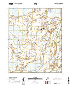
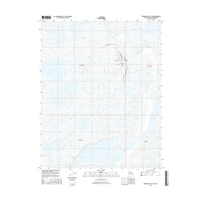
2020 Map of Harrison Bay A-2 NW
USGS Topo · Published 2020About this map
The Arctic community of Nuiqsut is situated on the Nechelik Channel in this modern topographic study of the North Slope. Located at the head of the Colville River delta, the settlement pattern reveals a compact grid of streets including Pausaanna Street, Upagvik St, and First Avenue. This area represents a critical nexus of subsistence land use and infrastructure, where the braided waters of the Colville River meet the Itkillik River in a landscape dominated by permafrost-driven hydrography. The presence of the Nuiqsut Airport and Winter Lake Road highlights the essential transportation corridors required for life in the high Arctic. Beyond the village, the terrain is a complex network of seasonal channels and wetlands, illustrating the dynamic nature of the Colville drainage system.
Find a feature on this map
16 named features on this map. Tap any name to fly to it.
Don’t see what you’re looking for? This feature index may not catch every label — zoom into the map to look around manually.
Map Details
Editions of this 2020 Harrison Bay A-2 NW Map
This is the sole edition of this map. No revisions or reprints were ever made.
Other maps of this area

1951 · Harrison Bay
USGS Topo · 1:250,000

1955 · Harrison Bay
USGS Topo · 1:250,000

1955 · Harrison Bay B-3
USGS Topo · 1:63,360

1955 · Harrison Bay B-2
USGS Topo · 1:63,360

1955 · Harrison Bay A-2
USGS Topo · 1:63,360

1955 · Harrison Bay A-3
USGS Topo · 1:63,360
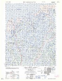
1962 · Harrison Bay B-2
USGS Topo · 1:50,000
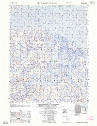
1962 · Harrison Bay B-3
USGS Topo · 1:50,000
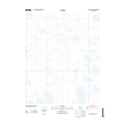
2013 · Harrison Bay A-3 NE
USGS Topo · 1:25,000
2016 · Harrison Bay A-2 NW
USGS Topo · 1:25,000