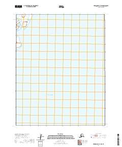
2020 Map of Harrison Bay C-4 NW
USGS Topo · Published 2020About this map
Harrison Bay dominates the northern and eastern portions of this Arctic coastal survey, where the shallow waters of the Beaufort Sea meet the low-lying tundra of Alaska's North Slope. The area is defined by a grid of Public Land Survey System townships, specifically T16n R2w and T15n R2w, which represent the primary human imprint on this otherwise undeveloped landscape. This 2020 edition provides a clear record of the coastline and offshore bathymetry prior to further natural or industrial changes. While the interior consists of an intricate web of small ponds and wetlands characteristic of the permafrost-rich region, the most significant landmark remains the expansive bay itself, which serves as a critical geographic marker for the northern reaches of the continent.
Find a feature on this map
3 named features on this map. Tap any name to fly to it.
Don’t see what you’re looking for? This feature index may not catch every label — zoom into the map to look around manually.
Map Details
Editions of this 2020 Harrison Bay C-4 NW Map
This is the sole edition of this map. No revisions or reprints were ever made.
Other maps of this area

1951 · Harrison Bay
USGS Topo · 1:250,000

1955 · Harrison Bay
USGS Topo · 1:250,000

1955 · Harrison Bay D-4
USGS Topo · 1:63,360

1955 · Harrison Bay C-5
USGS Topo · 1:63,360

1955 · Harrison Bay D-5
USGS Topo · 1:63,360

1955 · Harrison Bay C-4
USGS Topo · 1:63,360

1962 · Harrison Bay C-5
USGS Topo · 1:50,000
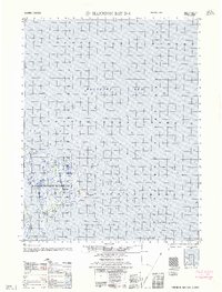
1962 · Harrison Bay D-4
USGS Topo · 1:50,000
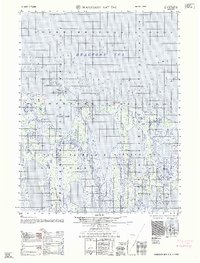
1962 · Harrison Bay D-5
USGS Topo · 1:50,000
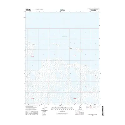
2016 · Harrison Bay C-4 SE
USGS Topo · 1:25,000