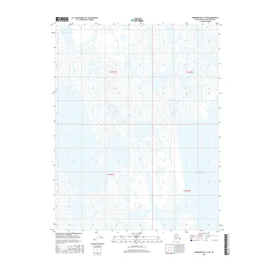
2016 Map of Harrison Bay C-5 NE
USGS Topo · Published 2016About this map
Beaufort Sea waters meet the northern Alaskan coastline in this survey of the North Slope, where the intricate transition between land and water is defined by expansive wetlands and tidal flats. The eastern portion of the map is dominated by the shallow reaches of Harrison Bay, a significant feature of the Arctic coast. Moving inland toward the south, the hydrologic network is anchored by the meandering course of Garry Creek, also labeled as Garry Cr at its lower reaches. The landscape is characterized by a nearly level plain, typical of this permafrost-underlain region, with the absence of permanent human settlements or infrastructure highlighting the area's isolation during the early 21st century. This map captures the natural drainage patterns and coastal contours of a remote arctic environment before potential shifts in the northern shoreline.
Find a feature on this map
8 named features on this map. Tap any name to fly to it.
Don’t see what you’re looking for? This feature index may not catch every label — zoom into the map to look around manually.
Map Details
Editions of this 2016 Harrison Bay C-5 NE Map
This is the sole edition of this map. No revisions or reprints were ever made.
Other maps of this area

1951 · Harrison Bay
USGS Topo · 1:250,000

1955 · Harrison Bay
USGS Topo · 1:250,000

1955 · Harrison Bay D-4
USGS Topo · 1:63,360

1955 · Harrison Bay C-5
USGS Topo · 1:63,360

1955 · Harrison Bay D-5
USGS Topo · 1:63,360

1955 · Harrison Bay C-4
USGS Topo · 1:63,360

1962 · Harrison Bay C-5
USGS Topo · 1:50,000
1962 · Harrison Bay D-4
USGS Topo · 1:50,000
1962 · Harrison Bay D-5
USGS Topo · 1:50,000
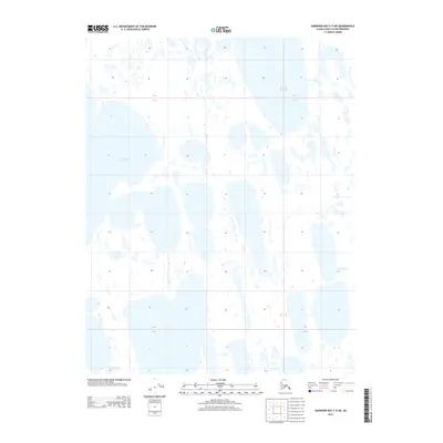
2013 · Harrison Bay C-5 SW
USGS Topo · 1:25,000