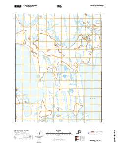
2020 Map of Harrison Bay C-5 NE
USGS Topo · Published 2020About this map
Harrison Bay dominates the eastern horizon of this Arctic coastal region, where the land and sea merge into an intricate network of wetlands and tidal flats. The landscape is characterized by a high density of thaw lakes and ponds, typical of the North Slope's permafrost environment. Flowing through the southern portion of the sheet, Garry Creek meanders toward the Beaufort Sea, marking one of the few named drainage systems in this remote coastal plain. Surveyed in the early 21st century, the map details the Public Land Survey System grid across townships including t16n r3w and t15n r2w. This area represents a largely untouched wilderness where hydrologic patterns are the primary defining features of the terrain.
Find a feature on this map
6 named features on this map. Tap any name to fly to it.
Don’t see what you’re looking for? This feature index may not catch every label — zoom into the map to look around manually.
Map Details
Editions of this 2020 Harrison Bay C-5 NE Map
This is the sole edition of this map. No revisions or reprints were ever made.
Other maps of this area

1951 · Harrison Bay
USGS Topo · 1:250,000

1955 · Harrison Bay
USGS Topo · 1:250,000

1955 · Harrison Bay D-4
USGS Topo · 1:63,360

1955 · Harrison Bay C-5
USGS Topo · 1:63,360

1955 · Harrison Bay D-5
USGS Topo · 1:63,360

1955 · Harrison Bay C-4
USGS Topo · 1:63,360

1962 · Harrison Bay C-5
USGS Topo · 1:50,000
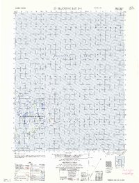
1962 · Harrison Bay D-4
USGS Topo · 1:50,000
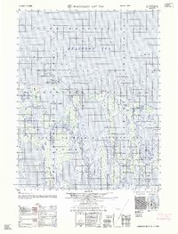
1962 · Harrison Bay D-5
USGS Topo · 1:50,000
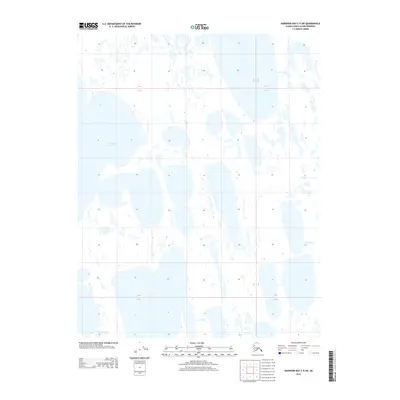
2013 · Harrison Bay C-5 SW
USGS Topo · 1:25,000