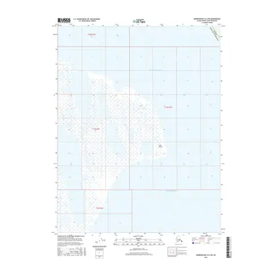
2016 Map of Harrison Bay D-4 SW
USGS Topo · Published 2016About this map
Cape Halkett marks a prominent point along the northern edge of this coastal survey, where the terrestrial marshes of the Arctic slope meet the frigid waters of the Beaufort Sea. This specific environment is defined by an intricate network of thaw lakes and coastal wetlands, characteristic of the Alaska North Slope Borough geography. To the south, the shoreline gives way to the protected waters of Harrison Bay. The map provides a detailed view of the transitional zone between the permafrost-rich land and the sea, documenting the natural shoreline configuration and topographical boundaries of the North Slope during the early 21st century.
Find a feature on this map
8 named features on this map. Tap any name to fly to it.
Don’t see what you’re looking for? This feature index may not catch every label — zoom into the map to look around manually.
Map Details
Editions of this 2016 Harrison Bay D-4 SW Map
This is the sole edition of this map. No revisions or reprints were ever made.
Other maps of this area

1951 · Harrison Bay
USGS Topo · 1:250,000

1955 · Harrison Bay
USGS Topo · 1:250,000

1955 · Harrison Bay D-4
USGS Topo · 1:63,360

1955 · Harrison Bay C-5
USGS Topo · 1:63,360

1955 · Harrison Bay D-5
USGS Topo · 1:63,360

1955 · Harrison Bay C-4
USGS Topo · 1:63,360

1962 · Harrison Bay C-5
USGS Topo · 1:50,000
1962 · Harrison Bay D-4
USGS Topo · 1:50,000
1962 · Harrison Bay D-5
USGS Topo · 1:50,000
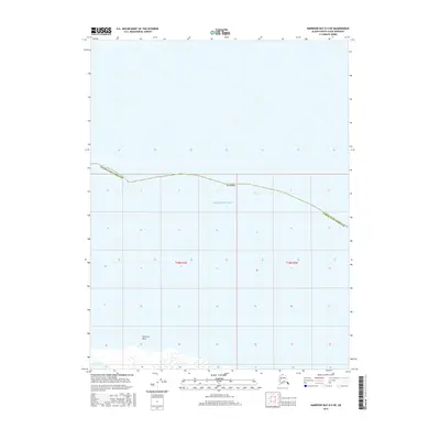
2016 · Harrison Bay D-5 NE
USGS Topo · 1:25,000