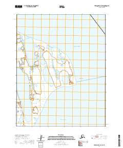
2020 Map of Harrison Bay D-4 SW
USGS Topo · Published 2020About this map
Beaufort Sea and Harrison Bay meet at the northern edge of the Alaska coastline, defining a landscape of transition where the Arctic waters interact with the low-lying coastal plain. The coastal prominence of Cape Halkett serves as a primary geographic anchor on this 2020 topographic study, marking a point where the shoreline trends south into the sheltered waters of the bay. The map reveals an intricate network of coastal wetlands and ephemeral water bodies that characterize this portion of the North Slope, illustrating the subtle elevation changes and complex drainage patterns typical of the region's arctic tundra environments.
Find a feature on this map
7 named features on this map. Tap any name to fly to it.
Don’t see what you’re looking for? This feature index may not catch every label — zoom into the map to look around manually.
Map Details
Editions of this 2020 Harrison Bay D-4 SW Map
This is the sole edition of this map. No revisions or reprints were ever made.
Other maps of this area

1951 · Harrison Bay
USGS Topo · 1:250,000

1955 · Harrison Bay
USGS Topo · 1:250,000

1955 · Harrison Bay D-4
USGS Topo · 1:63,360

1955 · Harrison Bay C-5
USGS Topo · 1:63,360

1955 · Harrison Bay D-5
USGS Topo · 1:63,360

1955 · Harrison Bay C-4
USGS Topo · 1:63,360

1962 · Harrison Bay C-5
USGS Topo · 1:50,000
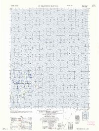
1962 · Harrison Bay D-4
USGS Topo · 1:50,000
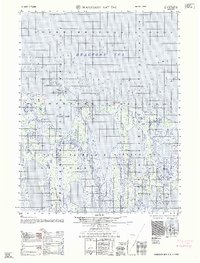
1962 · Harrison Bay D-5
USGS Topo · 1:50,000
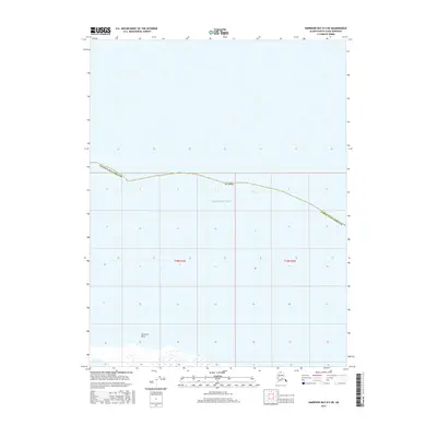
2016 · Harrison Bay D-5 NE
USGS Topo · 1:25,000