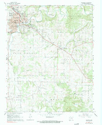
1967 Map of Harrison
USGS Topo · Published 1968About this map
Harrison serves as the regional hub for Boone County in the mid-1960s, showing a transition from a rural agricultural landscape to a more developed municipal center. The town's growth is evident through its neighborhood structure, including Skyline Heights and Eagle Heights, along with a dense concentration of local institutions like the High Sch and County Hospital. A distinctive industrial and transit history remains etched in the landscape south of the city center, where the Old Railroad Grade cuts through the terrain near Bellefonte.
Find a feature on this map
58 named features on this map. Tap any name to fly to it.
Don’t see what you’re looking for? This feature index may not catch every label — zoom into the map to look around manually.
Map Details
Editions of this 1967 Harrison Map
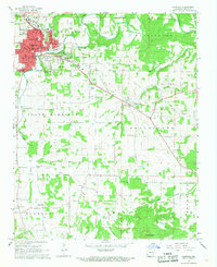
2 editions found
Other maps of this area

1893 · Yellville
USGS Topo · 1:125,000

1903 · Yellville
USGS Topo · 1:125,000

1904 · Harrison
USGS Topo · 1:125,000

1905 · Harrison
USGS Topo · 1:125,000

1905 · Yellville
USGS Topo · 1:125,000

1929 · Yellville
USGS Topo · 1:125,000

1945 · Harrison
USGS Topo · 1:250,000

1949 · Harrison
USGS Topo · 1:250,000

1954 · Harrison
USGS Topo · 1:250,000

1958 · Harrison
USGS Topo · 1:250,000