
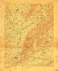
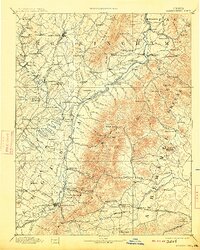
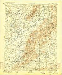
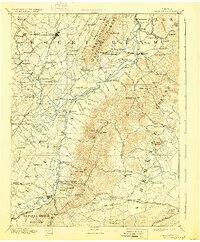
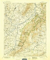
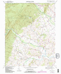
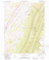
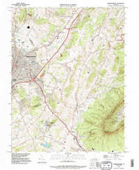
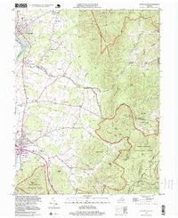
1892 Map of Harrisonburg
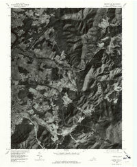
USGS Topo · Published 1901This historical map portrays the area of Harrisonburg in 1892, primarily covering Rockingham County as well as portions of Nelson County, Albemarle County, Page County, Augusta County, and Greene County. Featuring a scale of 1:125000, this map provides a highly detailed snapshot of the terrain, roads, buildings, counties, and historical landmarks in the Harrisonburg region at the time. Published in 1901, it is one of 6 known editions of this map due to revisions or reprints.
Find a feature on this map
159 named features on this map. Tap any name to fly to it.
Don’t see what you’re looking for? This feature index may not catch every label — zoom into the map to look around manually.
Map Details
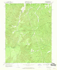
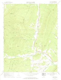
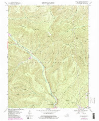
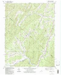
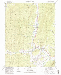
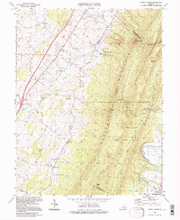
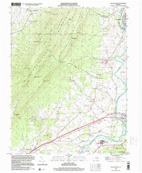
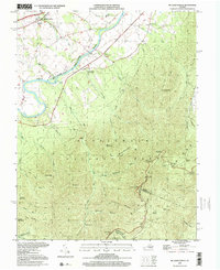
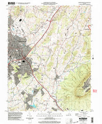
Editions of this 1892 Harrisonburg Map
6 editions found
Historical Maps of Damtown Through Time
26 maps found
1892 Harrisonburg
Rockingham County, VA

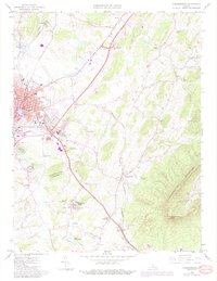
1941 Harrisonburg
Rockingham County, VA

1943 Harrisonburg
Rockingham County, VA
1964 Harrisonburg
Rockingham County, VA
1964 Price
Rockingham County, VA
1964 Spray
Rockingham County, VA
1965 Elkton East
Rockingham County, VA
1965 Elkton West
Rockingham County, VA
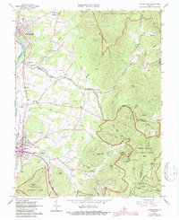
1965 Mc Gaheysville
Rockingham County, VA
1967 Bergton
Rockingham County, VA
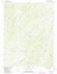
1967 Briery Branch
Rockingham County, VA
1967 Cow Knob
Rockingham County, VA
1967 Fulks Run
Rockingham County, VA
1967 Rawley Springs
Rockingham County, VA
1967 Tenth Legion
Rockingham County, VA
1977 Elkton East
Rockingham County, VA
1977 Elkton West
Rockingham County, VA
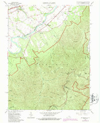
1977 Mc Gaheysville
Rockingham County, VA
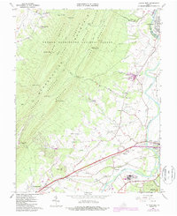
1989 Harrisonburg
Rockingham County, VA
1994 Bergton
Rockingham County, VA
1994 Fulks Run
Rockingham County, VA
1994 Tenth Legion
Rockingham County, VA
1997 Elkton East
Rockingham County, VA
1999 Elkton West
Rockingham County, VA
1999 Mc Gaheysville
Rockingham County, VA
2002 Harrisonburg
Rockingham County, VA