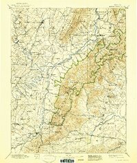
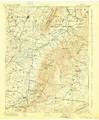
1892 Map of Harrisonburg
USGS Topo · Published 1939About this map
Harrisonburg and its surrounding valley floor are defined by a complex network of waterways, including the North River, Middle River, and South River, which converge to feed the South Fork Shenandoah River. The landscape reveals a transition from the agricultural lowlands to the high ridges of Massanutten Mountain and the Shenandoah National Park boundary. Industrial and transportation hubs are prominent, particularly where the Chesapeake and Ohio Railroad intersects with settlements like Waynesboro and the neighboring industrial town of Basic City.
Find a feature on this map
147 named features on this map. Tap any name to fly to it.
Don’t see what you’re looking for? This feature index may not catch every label — zoom into the map to look around manually.
Map Details
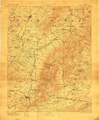
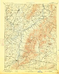
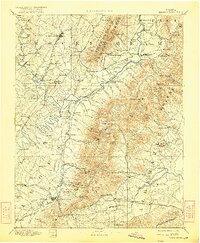
Editions of this 1892 Harrisonburg Map
6 editions found
Other maps of this area

1891 · Palmyra
USGS Topo · 1:125,000

1892 · Buckingham
USGS Topo · 1:125,000

1892 · Franklin
USGS Topo · 1:125,000

1892 · Woodstock
USGS Topo · 1:125,000

1892 · Gordonsville
USGS Topo · 1:125,000

1892 · Harrisonburg
USGS Topo · 1:125,000

1893 · Luray
USGS Topo · 1:125,000

1894 · Staunton
USGS Topo · 1:125,000

1894 · Lexington
USGS Topo · 1:125,000

1895 · Palmyra
USGS Topo · 1:125,000