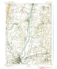
1892 Map of Hartford
USGS Topo · Published 1942About this map
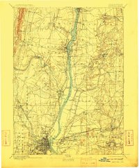
The Connecticut River serves as the central artery of this late nineteenth-century survey, flanked by a dense network of industrial and agricultural villages connected by early rail and river crossings. Key transit points like the Enfield Bridge and the Bissell Ferry illustrate how the region negotiated the water before modern spans were ubiquitous. The landscape is characterized by the prominent Peak Mountain to the northwest and a complex system of brooks, including Freshwater Brook and Scitico, that powered local industry at sites like Vintons Mills and Sadds Mills.
Find a feature on this map
75 named features on this map. Tap any name to fly to it.
Don’t see what you’re looking for? This feature index may not catch every label — zoom into the map to look around manually.
Map Details
Editions of this 1892 Hartford Map
8 editions found
Other maps of this area

1886 · Springfield
USGS Topo · 1:62,500

1887 · Palmer
USGS Topo · 1:62,500

1887 · Granville
USGS Topo · 1:62,500

1889 · Springfield
USGS Topo · 1:62,500

1889 · Palmer
USGS Topo · 1:62,500

1889 · Granville
USGS Topo · 1:62,500

1892 · Hartford
USGS Topo · 1:62,500

1892 · Tolland
USGS Topo · 1:62,500

1892 · Meriden
USGS Topo · 1:62,500

1892 · Granby
USGS Topo · 1:62,500