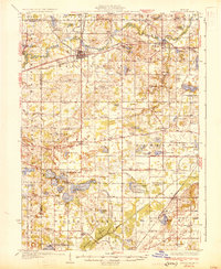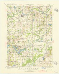
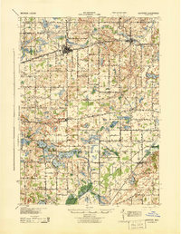
1927 Map of Hartford
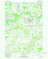
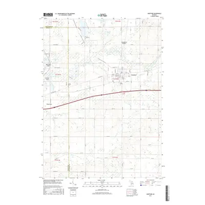
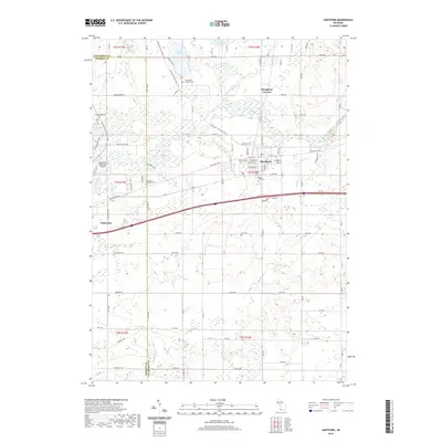
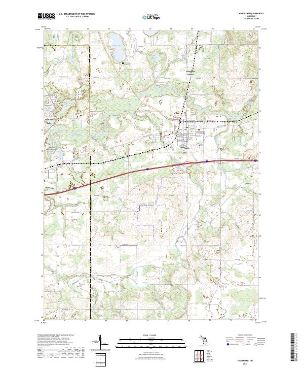
USGS Topo · Published 1955About this map
Hartford serves as the primary hub of this 1920s landscape, positioned at the intersection of the Pere Marquette Railroad and U S Highway No 12. The surrounding terrain in Van Buren County is defined by a dense network of rural one-room schoolhouses, including the uniquely named Celery Center Sch and North Wayne Sch, which reflect the region's agricultural roots. Southward, the landscape transitions into a popular recreational district centered around the Sister Lakes area, featuring named summer destinations like Woodland Beach and Sandy Beach on the shores of Magician Lake.
Find a feature on this map
118 named features on this map. Tap any name to fly to it.
Don’t see what you’re looking for? This feature index may not catch every label — zoom into the map to look around manually.
Map Details
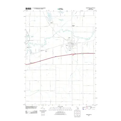
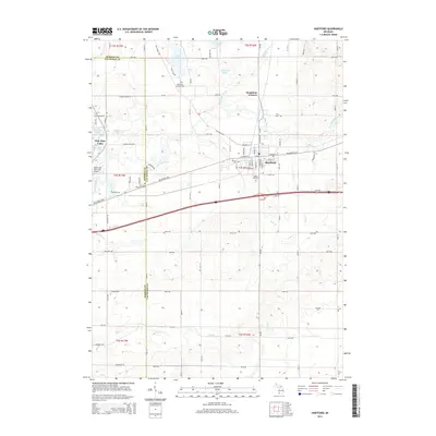
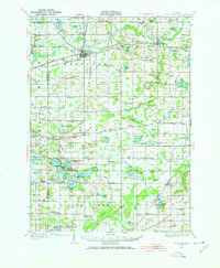
Editions of this 1927 Hartford Map
3 editions found
Historical Maps of Keeler Through Time
8 maps found