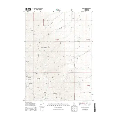
2013 Map of Hartley Peak
USGS Topo · Published 2013About this map
Hartley Peak stands as the central landmark in this high-altitude section of the Sublett Range, where much of the land falls within the Sawtooth National Forest. The landscape is defined by a dense network of drainages and ridges, including family-named and evocative locations such as Hartley Canyon and Last Chance Gulch. The southern portion of the survey shows the winding course of N Fork Sublett Cr and the topographic complexity of Sawpit Canyon.
Find a feature on this map
39 named features on this map. Tap any name to fly to it.
Don’t see what you’re looking for? This feature index may not catch every label — zoom into the map to look around manually.
Map Details
Editions of this 2013 Hartley Peak Map
This is the sole edition of this map. No revisions or reprints were ever made.
Other maps of this area

1934 · Rockland
USGS Topo · 1:62,500

1937 · Rockland
USGS Topo · 1:62,500

1954 · Pocatello
USGS Topo · 1:250,000

1958 · Pocatello
USGS Topo · 1:250,000

1958 · Sublett
USGS Topo · 1:62,500

1959 · Yale
USGS Topo · 1:62,500

1971 · Rockland East
USGS Topo · 1:24,000

1971 · Rockland West
USGS Topo · 1:24,000

1973 · Hartley Peak
USGS Topo · 1:24,000

1973 · Sublett Troughs
USGS Topo · 1:24,000