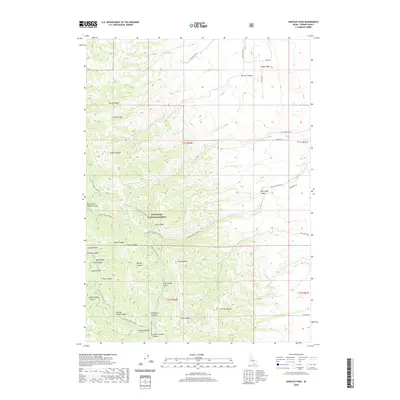
2020 Map of Hartley Peak
USGS Topo · Published 2020About this map
Hartley Peak stands as a prominent landmark within this portion of the Sublett Range, an area largely defined by the borders of the Sawtooth National Forest. The landscape is a network of deep drainages including Smith Canyon, Green Canyon, and the winding Flint Canyon. To the north, Cedar Ridge provides a distinct geographic boundary, while the southern reaches of the map are marked by the seasonally accessible Lake Fork Loop (Snow) and the curiously named Last Chance Gulch. Roads like Cliff Canyon Rd and Cedar Ridge Rd provide the primary access into these canyons. The presence of features such as North Heglar Canyon and Hartley Canyon suggests a topography of high relief, characteristic of the southeastern Idaho high country during the early twenty-first century.
Find a feature on this map
46 named features on this map. Tap any name to fly to it.
Don’t see what you’re looking for? This feature index may not catch every label — zoom into the map to look around manually.
Map Details
Editions of this 2020 Hartley Peak Map
This is the sole edition of this map. No revisions or reprints were ever made.
Other maps of this area

1934 · Rockland
USGS Topo · 1:62,500

1937 · Rockland
USGS Topo · 1:62,500

1954 · Pocatello
USGS Topo · 1:250,000

1958 · Pocatello
USGS Topo · 1:250,000

1958 · Sublett
USGS Topo · 1:62,500

1959 · Yale
USGS Topo · 1:62,500

1971 · Rockland East
USGS Topo · 1:24,000

1971 · Rockland West
USGS Topo · 1:24,000

1973 · Hartley Peak
USGS Topo · 1:24,000

1973 · Sublett Troughs
USGS Topo · 1:24,000