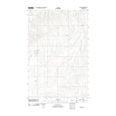
2011 Map of Hartline
USGS Topo · Published 2011About this map
Hartline stands as the primary hub of this eastern Washington landscape, its small grid of streets including Hill St, Kelley St, and Stinson St defining the town's compact footprint. The surrounding terrain is organized by a systematic grid of agricultural roads, such as Road 40 NE and Road R NE, which segment the rolling plains of Grant County. This 2011 survey captures the area's rural character, where small clusters of development like Hanson dot the landscape.
Find a feature on this map
25 named features on this map. Tap any name to fly to it.
Don’t see what you’re looking for? This feature index may not catch every label — zoom into the map to look around manually.
Map Details
Editions of this 2011 Hartline Map
This is the sole edition of this map. No revisions or reprints were ever made.
Other maps of this area

1948 · Grand Coulee Dam
USGS Topo · 1:62,500

1950 · Grand Coulee Dam
USGS Topo · 1:62,500

1953 · Ritzville
USGS Topo · 1:250,000

1959 · Ritzville
USGS Topo · 1:250,000

1965 · Ritzville
USGS Topo · 1:250,000

1968 · Steamboat Rock SW
USGS Topo · 1:24,000

1968 · Hartline
USGS Topo · 1:24,000

1968 · Hartline SW
USGS Topo · 1:24,000

1968 · Steamboat Rock SE
USGS Topo · 1:24,000

1968 · Hartline SE
USGS Topo · 1:24,000