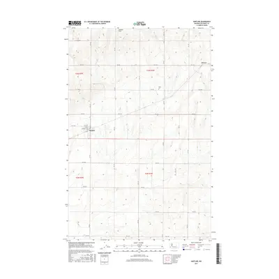
2017 Map of Hartline
USGS Topo · Published 2017About this map
The town of Hartline serves as the focal point of this 2017 survey, showcasing a grid of streets including Kelley St, Lenard St, and Willard St. This agricultural landscape in Grant County is defined by its Public Land Survey System geometry, where section lines are traced by a high-density network of rural roads such as Rd 44 NE and Rd S NE. To the northeast, the settlement of Hanson sits near the edge of the plateau, while the Welsh Cem provides a specific point of interest for genealogists researching local families. The terrain is marked by the subtle incision of Arbuckle Draw, which cuts through the high plains. The transition between Township 25 North and Township 26 North is clearly delineated, illustrating the orderly division of the Washington interior.
Find a feature on this map
28 named features on this map. Tap any name to fly to it.
Don’t see what you’re looking for? This feature index may not catch every label — zoom into the map to look around manually.
Map Details
Editions of this 2017 Hartline Map
This is the sole edition of this map. No revisions or reprints were ever made.
Other maps of this area

1948 · Grand Coulee Dam
USGS Topo · 1:62,500

1950 · Grand Coulee Dam
USGS Topo · 1:62,500

1953 · Ritzville
USGS Topo · 1:250,000

1959 · Ritzville
USGS Topo · 1:250,000

1965 · Ritzville
USGS Topo · 1:250,000

1968 · Steamboat Rock SW
USGS Topo · 1:24,000

1968 · Hartline
USGS Topo · 1:24,000

1968 · Hartline SW
USGS Topo · 1:24,000

1968 · Steamboat Rock SE
USGS Topo · 1:24,000

1968 · Hartline SE
USGS Topo · 1:24,000