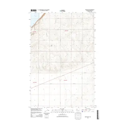
2014 Map of Hartline NW
USGS Topo · Published 2014About this map
Banks Lake defines the northwestern corner of this landscape in Grant County, where the water’s edge meets the structured grid of the high desert plateau. The terrain is marked by the distinctive Chase Draw, a natural drainage feature that cuts through the center of the quadrangle. This area is defined by a rigorous network of section-line roads, such as Road Q NE and Palumar Rd Ne, reflecting the systematic agricultural and land management patterns of the Columbia Basin. The presence of Us-2 provides a primary east-west corridor through the lower half of the map, intersecting a landscape dominated by township boundaries like t26n r29e. This 2014 survey illustrates the intersection of natural reservoir edges with the geometric precision of modern rural infrastructure.
Find a feature on this map
22 named features on this map. Tap any name to fly to it.
Don’t see what you’re looking for? This feature index may not catch every label — zoom into the map to look around manually.
Map Details
Editions of this 2014 Hartline NW Map
This is the sole edition of this map. No revisions or reprints were ever made.
Other maps of this area

1930 · Grand Coulee Sheet 3
USGS Topo · 1:31,680

1953 · Ritzville
USGS Topo · 1:250,000

1959 · Ritzville
USGS Topo · 1:250,000

1965 · Ritzville
USGS Topo · 1:250,000

1965 · Mold
USGS Topo · 1:24,000

1965 · Coulee City
USGS Topo · 1:24,000

1968 · Steamboat Rock SW
USGS Topo · 1:24,000

1968 · Hartline
USGS Topo · 1:24,000

1968 · Hartline SW
USGS Topo · 1:24,000

1968 · Steamboat Rock SE
USGS Topo · 1:24,000