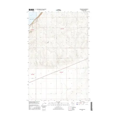
2017 Map of Hartline NW
USGS Topo · Published 2017About this map
Upper Grand Coulee defines the northwest corner of this landscape, where the waters of Banks Lake meet the steep-walled edges of the basalt plateau. The terrain is characterized by the dramatic transition from the coulee floor up to the high, rolling fields of the Columbia Basin. Coulee Blvd follows the shoreline, while a precise grid of rural roads, including Rd 42 Ne and 39-Ne Rd, stretches across the high ground to service the region's agricultural parcels. The natural drainage of Chase Draw cuts through the central portion of the map, illustrating how local topography dictates the movement of water and the placement of transportation routes in this part of Grant County.
Find a feature on this map
16 named features on this map. Tap any name to fly to it.
Don’t see what you’re looking for? This feature index may not catch every label — zoom into the map to look around manually.
Map Details
Editions of this 2017 Hartline NW Map
This is the sole edition of this map. No revisions or reprints were ever made.
Other maps of this area

1930 · Grand Coulee Sheet 3
USGS Topo · 1:31,680

1953 · Ritzville
USGS Topo · 1:250,000

1959 · Ritzville
USGS Topo · 1:250,000

1965 · Ritzville
USGS Topo · 1:250,000

1965 · Mold
USGS Topo · 1:24,000

1965 · Coulee City
USGS Topo · 1:24,000

1968 · Steamboat Rock SW
USGS Topo · 1:24,000

1968 · Hartline
USGS Topo · 1:24,000

1968 · Hartline SW
USGS Topo · 1:24,000

1968 · Steamboat Rock SE
USGS Topo · 1:24,000