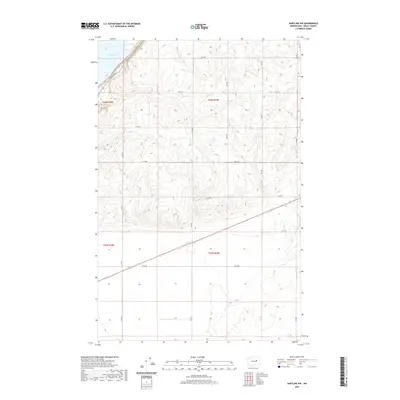
2020 Map of Hartline NW
USGS Topo · Published 2020About this map
Banks Lake dominates the northwest corner of this Grant County landscape, bordered by the winding path of Coulee Blvd. This 2020 survey illustrates a quintessential section of the Columbia Basin, defined by the rigid grid of the Public Land Survey System. The map detail highlights the intersection of several townships, including t26n r28e, t26n r29e, t25n r28e, and t25n r29e. The terrain is navigated by a network of rural roads such as Rd 39 Ne and 43 Ne Rd, which segment the dry-land agriculture and coulee topography typical of the region. This modern topographic record captures the established transport infrastructure and water management features that have shaped central Washington's development.
Find a feature on this map
18 named features on this map. Tap any name to fly to it.
Don’t see what you’re looking for? This feature index may not catch every label — zoom into the map to look around manually.
Map Details
Editions of this 2020 Hartline NW Map
This is the sole edition of this map. No revisions or reprints were ever made.
Other maps of this area

1930 · Grand Coulee Sheet 3
USGS Topo · 1:31,680

1953 · Ritzville
USGS Topo · 1:250,000

1959 · Ritzville
USGS Topo · 1:250,000

1965 · Ritzville
USGS Topo · 1:250,000

1965 · Mold
USGS Topo · 1:24,000

1965 · Coulee City
USGS Topo · 1:24,000

1968 · Steamboat Rock SW
USGS Topo · 1:24,000

1968 · Hartline
USGS Topo · 1:24,000

1968 · Hartline SW
USGS Topo · 1:24,000

1968 · Steamboat Rock SE
USGS Topo · 1:24,000