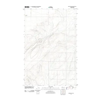
2011 Map of Hartline SW
USGS Topo · Published 2011About this map
The Coulee City Airport anchors the northwest corner of this Grant County landscape, providing a clear reference point for the surrounding topography. Central to the area’s water management and land use is the Schell Dam, a significant infrastructure feature that shapes the local hydrology alongside Garland Lake. The terrain is defined by a series of coulees and depressions, with an organized grid of rural routes such as Road 31 NE and N-NE Rd providing access across the undulating plateau. This map captures the intersection of aviation, agricultural infrastructure, and the distinct geological forms of the Washington interior.
Find a feature on this map
16 named features on this map. Tap any name to fly to it.
Don’t see what you’re looking for? This feature index may not catch every label — zoom into the map to look around manually.
Map Details
Editions of this 2011 Hartline SW Map
This is the sole edition of this map. No revisions or reprints were ever made.
Other maps of this area

1930 · Grand Coulee Sheet 3
USGS Topo · 1:31,680

1953 · Ritzville
USGS Topo · 1:250,000

1956 · Stratford
USGS Topo · 1:24,000

1956 · Wilson Creek NW
USGS Topo · 1:24,000

1956 · Wilson Creek
USGS Topo · 1:62,500

1959 · Ritzville
USGS Topo · 1:250,000

1965 · Ritzville
USGS Topo · 1:250,000

1965 · Mold
USGS Topo · 1:24,000

1965 · Coulee City
USGS Topo · 1:24,000

1968 · Hartline
USGS Topo · 1:24,000