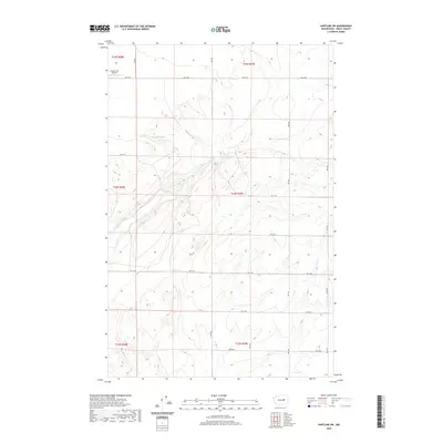
2020 Map of Hartline SW
USGS Topo · Published 2020About this map
Coulee City Airport anchors the northwestern corner of this landscape in Grant County, overlooking a terrain defined by the complex coulees and plateaus of central Washington. The map details a methodical grid of rural roads, including Rd 36 Ne and Rd 31 Ne, which carve through the high desert to serve the scattered agricultural sections. Near the center of the sheet, Garland Lake sits within a depression, reflecting the unique hydrography of the region's basalt-carved geography. The survey highlights the intersection of transportation and topography, tracing how local routes like 29 Ne Rd navigate the contours of the land. This edition provides a clear record of the modern rural infrastructure and land divisions within the townships of T24N and T25N, essential for understanding the contemporary footprint of this basalt-strewn territory.
Find a feature on this map
16 named features on this map. Tap any name to fly to it.
Don’t see what you’re looking for? This feature index may not catch every label — zoom into the map to look around manually.
Map Details
Editions of this 2020 Hartline SW Map
This is the sole edition of this map. No revisions or reprints were ever made.
Other maps of this area

1930 · Grand Coulee Sheet 3
USGS Topo · 1:31,680

1953 · Ritzville
USGS Topo · 1:250,000

1956 · Stratford
USGS Topo · 1:24,000

1956 · Wilson Creek NW
USGS Topo · 1:24,000

1956 · Wilson Creek
USGS Topo · 1:62,500

1959 · Ritzville
USGS Topo · 1:250,000

1965 · Ritzville
USGS Topo · 1:250,000

1965 · Mold
USGS Topo · 1:24,000

1965 · Coulee City
USGS Topo · 1:24,000

1968 · Hartline
USGS Topo · 1:24,000