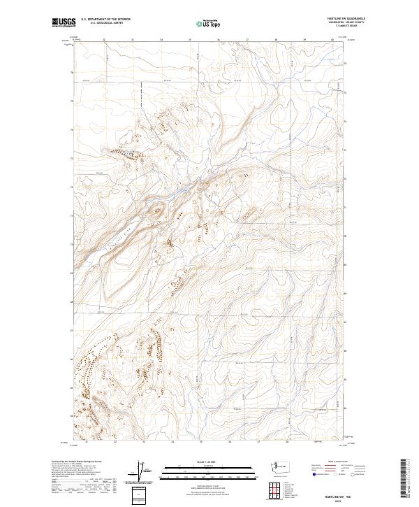
2023 Map of Hartline SW
USGS Topo · Published 2023About this map
Arbuckle Draw carves a distinct path through this section of the Columbia Plateau, illustrating the characteristic drainage patterns of the Grant County landscape. The area is defined by a strictly organized grid of agricultural access roads, including Rd 36 Ne and RD N Ne, which service the expansive sections of the Public Land Survey System. These townships, such as t24n r29e, reflect the long-standing rectangular survey methods used to partition this territory for dryland farming and ranching.
Find a feature on this map
20 named features on this map. Tap any name to fly to it.
Don’t see what you’re looking for? This feature index may not catch every label — zoom into the map to look around manually.
Map Details
Editions of this 2023 Hartline SW Map
This is the sole edition of this map. No revisions or reprints were ever made.
Other maps of this area

1930 · Grand Coulee Sheet 3
USGS Topo · 1:31,680

1953 · Ritzville
USGS Topo · 1:250,000

1956 · Stratford
USGS Topo · 1:24,000

1956 · Wilson Creek NW
USGS Topo · 1:24,000

1956 · Wilson Creek
USGS Topo · 1:62,500

1959 · Ritzville
USGS Topo · 1:250,000

1965 · Ritzville
USGS Topo · 1:250,000

1965 · Mold
USGS Topo · 1:24,000

1965 · Coulee City
USGS Topo · 1:24,000

1968 · Hartline
USGS Topo · 1:24,000