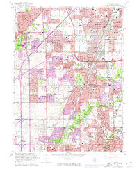
1963 Map of Harvey
USGS Topo · Published 1974About this map
The south suburbs of Chicago undergo intensive post-war expansion in this 1973 photorevision of a 1963 survey. The landscape is defined by the intersection of major transportation corridors, including the Tri-State Tollway and the Calumet Expressway, which facilitate the rapid growth of communities like Harvey, Markham, and Homewood. Significant institutional footprints dominate the area, from the sprawling Oak Forest Hospital to the U S Military Reservation near Glenwood.
Find a feature on this map
97 named features on this map. Tap any name to fly to it.
Don’t see what you’re looking for? This feature index may not catch every label — zoom into the map to look around manually.
Map Details
Editions of this 1963 Harvey Map
3 editions found

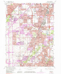
Other maps of this area

1890 · Des Plaines
USGS Topo · 1:62,500

1892 · Calumet
USGS Topo · 1:62,500

1893 · Calumet
USGS Topo · 1:62,500

1894 · Des Plaines
USGS Topo · 1:62,500

1900 · Des Plaines
USGS Topo · 1:62,500

1900 · Calumet
USGS Topo · 1:62,500

1901 · Calumet
USGS Topo · 1:62,500

1901 · Des Plaines
USGS Topo · 1:62,500

1928 · Palos Park
USGS Topo · 1:24,000

1929 · Tinley Park
USGS Topo · 1:24,000