
1946 Map of Harveys Lake
USGS Topo · Published 1962About this map
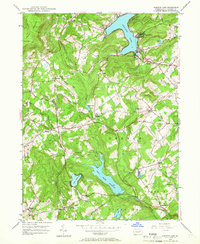
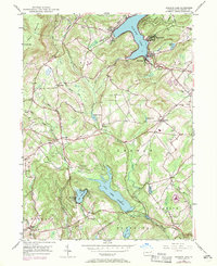
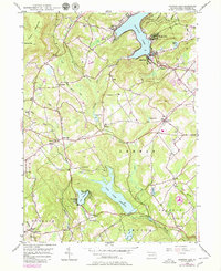
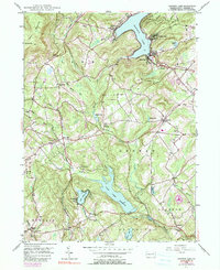
Harveys Lake serves as the dominant landmark of this Luzerne County landscape, its shoreline dotted with early developments like Laketon and Shawanese. The 1940s terrain is defined by a series of small, natural water bodies and man-made impoundments, including the sprawling Pikes Creek Reservoir and smaller pools such as Bryant Pond and Lake Silkworth. The map captures a transition from high ridges like North Mountain and Kocher Mtn to the developed valleys of Lehman and Jackson townships.
Find a feature on this map
48 named features on this map. Tap any name to fly to it.
Don’t see what you’re looking for? This feature index may not catch every label — zoom into the map to look around manually.
Map Details
Editions of this 1946 Harveys Lake Map
5 editions found
Other maps of this area

1891 · Wilkesbarre
USGS Topo · 1:62,500

1891 · Harveys Lake
USGS Topo · 1:62,500

1893 · Harvey Lake
USGS Topo · 1:62,500

1893 · Pittston
USGS Topo · 1:62,500

1894 · Shickshinny
USGS Topo · 1:62,500

1894 · Wilkesbarre
USGS Topo · 1:62,500

1943 · Scranton
USGS Topo · 1:125,000

1946 · Nanticoke
USGS Topo · 1:31,680

1946 · Shickshinny
USGS Topo · 1:31,680

1946 · Kingston
USGS Topo · 1:24,000
Featured Places
- Dallas Township, PA
- Lehman Township, PA
- Harveys Lake, PA
- Hunlock Township, PA
- Pikes Creek, Lake Township