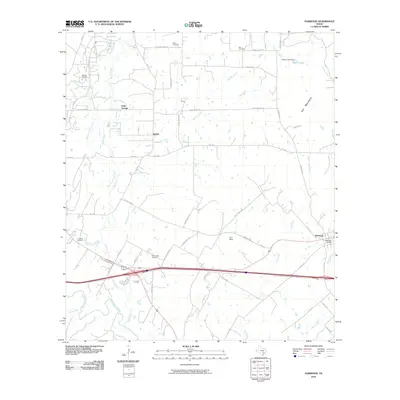
2010 Map of Harwood
USGS Topo · Published 2010About this map
The Salt Flat Oil Field anchors the northwestern corner of this landscape, marking a history of petroleum extraction near Soda Springs. The terrain is defined by a dense network of drainage, where the San Marcos River and Plum Creek converge, shaping the agricultural and industrial layout of the region. Transportation corridors, including the rail-aligned settlement of Harwood, illustrate the historical movement of goods and people between local rural hubs.
Find a feature on this map
50 named features on this map. Tap any name to fly to it.
Don’t see what you’re looking for? This feature index may not catch every label — zoom into the map to look around manually.
Map Details
Editions of this 2010 Harwood Map
This is the sole edition of this map. No revisions or reprints were ever made.
Other maps of this area

1901 · Flatonia
USGS Topo · 1:125,000

1911 · San Marcos
USGS Topo · 1:125,000

1919 · San Marcos
USGS Topo · 1:125,000

1925 · San Marcos 4-c
USGS Topo · 1:48,000

1925 · San Marcos 1-d
USGS Topo · 1:48,000

1925 · San Marcos 4-a
USGS Topo · 1:48,000

1929 · Luling
USGS Topo · 1:62,500

1930 · Lockhart
USGS Topo · 1:62,500

1953 · Seguin
USGS Topo · 1:250,000

1958 · Seguin
USGS Topo · 1:250,000