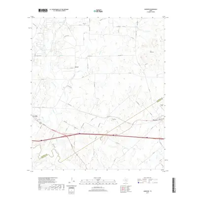
2019 Map of Harwood
USGS Topo · Published 2019About this map
San Marcos River flows through the southwestern corner of this central Texas landscape, where the rolling plains meet the Iron Mountains. The settlement of Harwood sits at a major transit junction near the Caldwell Co Gonzales Co line, while McNeil and the eastern edge of Luling anchor the western portion of the sheet. The area is defined by a dense network of watercourses including Plum Cr, Mule Cr, and Soda Spring, which historically dictated the placement of early homesteads and roads.
Find a feature on this map
73 named features on this map. Tap any name to fly to it.
Don’t see what you’re looking for? This feature index may not catch every label — zoom into the map to look around manually.
Map Details
Editions of this 2019 Harwood Map
This is the sole edition of this map. No revisions or reprints were ever made.
Other maps of this area

1901 · Flatonia
USGS Topo · 1:125,000

1911 · San Marcos
USGS Topo · 1:125,000

1919 · San Marcos
USGS Topo · 1:125,000

1925 · San Marcos 4-c
USGS Topo · 1:48,000

1925 · San Marcos 1-d
USGS Topo · 1:48,000

1925 · San Marcos 4-a
USGS Topo · 1:48,000

1929 · Luling
USGS Topo · 1:62,500

1930 · Lockhart
USGS Topo · 1:62,500

1953 · Seguin
USGS Topo · 1:250,000

1958 · Seguin
USGS Topo · 1:250,000