
1951 Map of Hastings
USGS Topo · Published 1953About this map
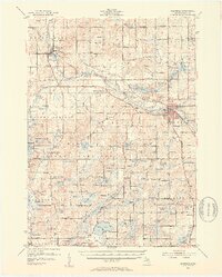
The Thornapple River winds through this mid-century landscape, connecting the industrial hub of Hastings with the riverside village of Middleville. This era shows a well-established network of rural school districts and community centers, including Little Brick Sch, Carlton Center, and the Circle Pine Center. The New York Central railroad corridor remains a primary transit artery, paralleling the river and serving the grain and manufacturing interests of the county seat.
Find a feature on this map
134 named features on this map. Tap any name to fly to it.
Don’t see what you’re looking for? This feature index may not catch every label — zoom into the map to look around manually.
Map Details
Editions of this 1951 Hastings Map
5 editions found

Other maps of this area

1914 · Grand Rapids
USGS Topo · 1:62,500

1916 · Kalamazoo
USGS Topo · 1:62,500

1916 · Ionia
USGS Topo · 1:62,500

1918 · Kalamazoo
USGS Topo · 1:62,500

1918 · Battle Creek
USGS Topo · 1:62,500

1918 · Ionia
USGS Topo · 1:62,500

1918 · Galesburg
USGS Topo · 1:62,500

1918 · Lowell
USGS Topo · 1:62,500

1943 · Battle Creek
USGS Topo · 1:62,500

1943 · Kalamazoo
USGS Topo · 1:62,500