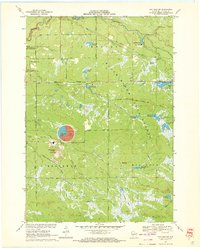
1970 Map of Hatfield SW
USGS Topo · Published 1972About this map
Industrial activity and wetlands define this portion of Jackson County, where the Jackson County Iron Mine and its accompanying Mine Dump dominate the western landscape. A massive Tailings Pond is a prominent landmark just north of Iron Mound, reflecting the scale of mineral extraction in the early 1970s. This resource extraction is balanced by the preservation of the Black River State Forest, which covers much of the central and eastern portions of the sheet. The terrain is characterized by a complex network of man-made flowages, including Staffon Flowage, Teal Flowage, and Wildcat Flowage, which serve as a reminder of the area's water management and conservation history. Small settlements like Valentine and Komensky Station sit along the periphery of these marshes, connected by rural routes such as Morrison Road and Battle Point Road.
Find a feature on this map
57 named features on this map. Tap any name to fly to it.
Don’t see what you’re looking for? This feature index may not catch every label — zoom into the map to look around manually.
Map Details
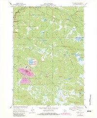
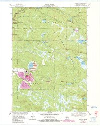
Editions of this 1970 Hatfield SW Map
3 editions found
Other maps of this area

1924 · Black River Falls
USGS Topo · 1:62,500

1926 · Black River Falls
USGS Topo · 1:62,500

1928 · Melrose
USGS Topo · 1:48,000

1947 · Millston
USGS Topo · 1:62,500

1949 · Millston
USGS Topo · 1:62,500

1949 · Melrose
USGS Topo · 1:62,500

1953 · Eau Claire
USGS Topo · 1:250,000

1958 · Eau Claire
USGS Topo · 1:250,000

1958 · Hatfield
USGS Topo · 1:48,000

1964 · Eau Claire
USGS Topo · 1:250,000